The Geography of Pakistan encompasses a wide variety of landscapes varying from plains to deserts, forests, and plateaus ranging from the coastal areas of the Indian Ocean in the south to the mountains of the Karakoram, Hindukush, Himalayas ranges in the north. Pakistan geologically overlaps both with the Indian and the Eurasian tectonic plates where its Sindh and Punjab provinces lie on the north-western corner of the Indian plate while Balochistan and most of Khyber Pakhtunkhwa lie within the Eurasian plate which mainly comprises the Iranian Plateau.
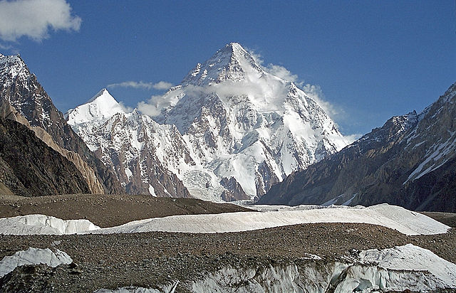
K2, at 8,611 metres (28,251 ft), is the world's second highest peak
Satellite image of the Sulaiman Range
Dust storm over Pakistan and surrounding countries, 7 April 2005
Pakistan, officially the Islamic Republic of Pakistan, is a country in South Asia. It is the fifth-most populous country, with a population of over 241.5 million, having the second-largest Muslim population as of 2023. Islamabad is the nation's capital, while Karachi is its largest city and financial centre. Pakistan is the 33rd-largest country by area and the ninth-largest in Asia. Bounded by the Arabian Sea on the south, the Gulf of Oman on the southwest, and the Sir Creek on the southeast, it shares land borders with India to the east; Afghanistan to the west; Iran to the southwest; and China to the northeast. It shares a maritime border with Oman in the Gulf of Oman, and is separated from Tajikistan in the northwest by Afghanistan's narrow Wakhan Corridor.
Priest-King from Mohenjo-daro (c. 2500 BCE)
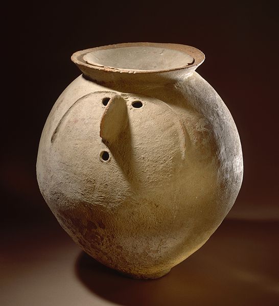
Cremation urn, Gandhara grave culture, Swat Valley, c. 1200 BCE
Standing Buddha from Gandhara (1st–2nd century CE)
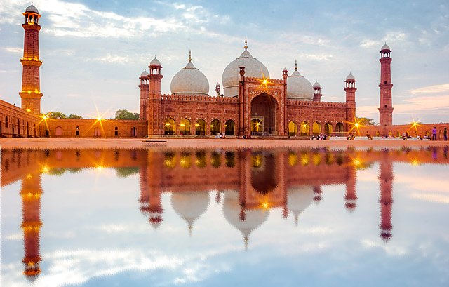
Badshahi Mosque, Lahore


