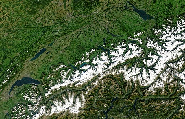
The geography of Switzerland features a mountainous and landlocked country located in Western and Central Europe. Switzerland's natural landscape is marked by its numerous lakes and mountains. It is surrounded by five countries: Austria and Liechtenstein to the east, France to the west, Italy to the south and Germany to the north. Switzerland has a maximum north–south length of 220 kilometres (140 mi) and an east–west length of about 350 kilometres (220 mi).
Geography of Switzerland
The Matterhorn, a symbol of Switzerland
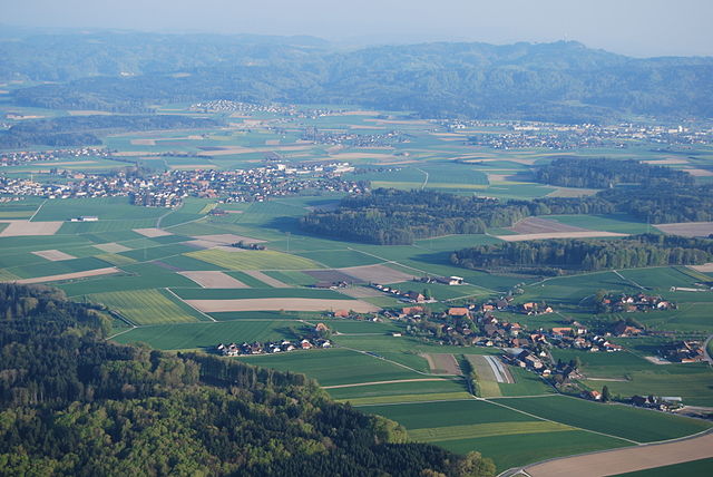
Rolling hills of the Emmental
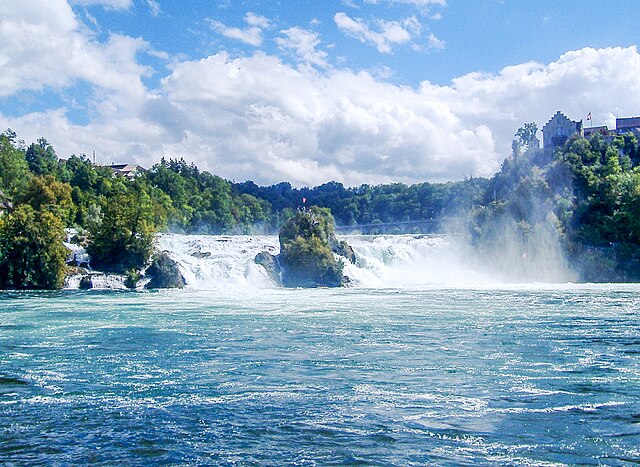
The Rhine Falls (German: Rheinfall) located near Schaffhausen is Europe's largest waterfall.
The 26 cantons of Switzerland are the member states of the Swiss Confederation. The nucleus of the Swiss Confederacy in the form of the first three confederate allies used to be referred to as the Waldstätte. Two important periods in the development of the Old Swiss Confederacy are summarized by the terms Acht Orte and Dreizehn Orte.
The 22 cantonal coats of arms (all but Jura, with the half-cantons represented jointly) in stained glass set in the dome of the Federal Palace of Switzerland (c. 1900)
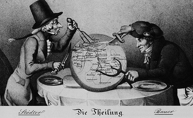
Caricature of the division of Basel, 1833