Geography of the Philippines
The Philippines is an archipelago that comprises 7,641 islands, and with a total land area of 300,000 square kilometers (115,831 sq mi), it is the world's fifth largest island country. The eleven largest islands contain 95% of the total land area. The largest of these islands is Luzon at about 105,000 square kilometers (40,541 sq mi). The next largest island is Mindanao at about 95,000 square kilometers (36,680 sq mi). The archipelago is around 800 kilometers (500 mi) from the Asian mainland and is located between Taiwan and Borneo.
Geography of the Philippines
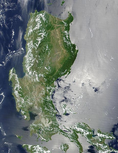
Luzon in a satellite image
The La Paz sand dunes in Laoag, part of the Ilocos coastline
Pasil Valley in Kalinga of the Cordillera Central
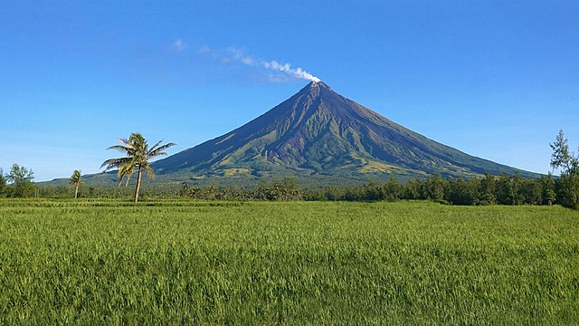
Mayon, also known as Mount Mayon and Mayon Volcano, is an active stratovolcano in the province of Albay in Bicol, Philippines. A popular tourist spot, it is renowned for its "perfect cone" because of its symmetric conical shape, and is regarded as sacred in Philippine mythology.
Mayon Volcano in 2020
An old photograph of the Cagsawa ruins with the façade still standing. The church was largely destroyed during the 1814 eruption of Mayon. Only the bell tower exists today, the façade having been demolished in the 1960's or 1970's due to structural integrity concerns.
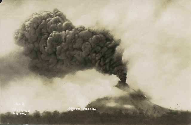
Mount Mayon erupting on July 21, 1928
The eruption on September 23, 1984


