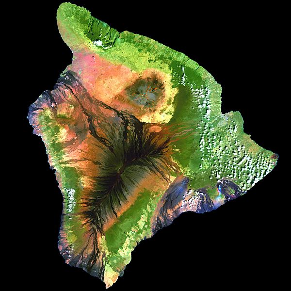
Geoinformatics is a scientific field primarily within the domains of Computer Science and technical geography. It focuses on the programming of applications, spatial data structures, and the analysis of objects and space-time phenomena related to the surface and underneath of Earth and other celestial bodies. The field develops software and web services to model and analyse spatial data, serving the needs of geosciences and related scientific and engineering disciplines. The term is often used interchangeably with Geomatics, although the two have distinct focuses; Geomatics emphasizes acquiring spatial knowledge and leveraging information systems, not their development. At least one publication has claimed the discipline is pure computer science outside the realm of geography.
Satellite navigation
Photogrammetry
Remote sensing
Navigation
Technical geography is the branch of geography that involves using, studying, and creating tools to obtain, analyze, interpret, understand, and communicate spatial information.
The "Erdapfel" of Martin Behaim is the oldest surviving terrestrial globe, made between 1491 and 1493.
The Rock Island passage, taken on June 20, 2016 from the International Space Station. St. Martin Island in Michigan is at the top. Rock Island and the much smaller Fish Island and Fisherman's Shoal below are in Wisconsin. These islands were the source of dispute during the U.S. Supreme Court cases Wisconsin v. Michigan, 295 U.S. 455 (1935) and Wisconsin v. Michigan, 297 U.S. 547 (1936).
Waldo Tobler in front of the Newberry Library. Chicago, November 2007
The TR-1 reconnaissance/surveillance aircraft


