The Golan Heights, or simply the Golan, is a hilly region in southwest Syria. Most of the region has been occupied by Israel since the 1967 Six-Day War, and subject to a de facto Israeli annexation in 1981. Geologically, the term refers to a wider basaltic plateau bordered by the Yarmouk River in the south, the Sea of Galilee and Hula Valley in the west, the Anti-Lebanon with Mount Hermon in the north and Wadi Raqqad in the east.
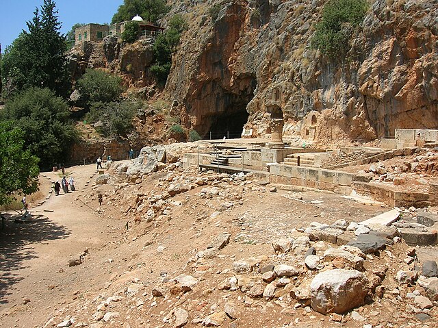
Temple of Pan at Banias and the white-domed shrine of Nabi Khadr in the background.
Ruins of the ancient Jewish city of Gamla, home to one of the earliest known synagogues. The city was destroyed by the Romans during the First Jewish–Roman War
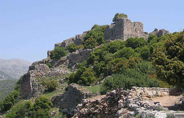
Nimrod Fortress, built by the Ayyubids and hugely enlarged by the Mamluks
A minefield warning sign in the Golan
The modern borders of Israel exist as the result both of past wars and of diplomatic agreements between the State of Israel and its neighbours, as well as an effect of the agreements among colonial powers ruling in the region before Israel's creation. Only two of Israel's five total potential land borders are internationally recognized and uncontested, while the other three remain disputed; the majority of its border disputes are rooted in territorial changes that came about as a result of the 1967 Arab–Israeli War, which saw Israel occupy large swathes of territory from its rivals. Israel's two formally recognized and confirmed borders exist with Egypt and Jordan since the 1979 Egypt–Israel peace treaty and the 1994 Israel–Jordan peace treaty, while its borders with Syria, Lebanon and the Palestinian territories remain internationally defined as contested.
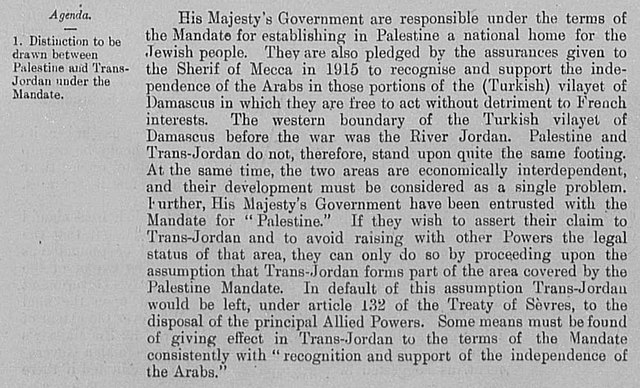
March 12, 1921 British memorandum explaining the situation of Transjordan: "His Majesty's Government have been entrusted with the Mandate for "Palestine." If they wish to assert their claim to Trans-Jordan and to avoid raising with other Powers the legal status of that area, they can only do so by proceeding upon the assumption that Trans-Jordan forms part of the area covered by the Palestine Mandate. In default of this assumption Trans-Jordan would be left, under article 132 of the Treaty of Sèvres, to the disposal of the principal Allied Powers."
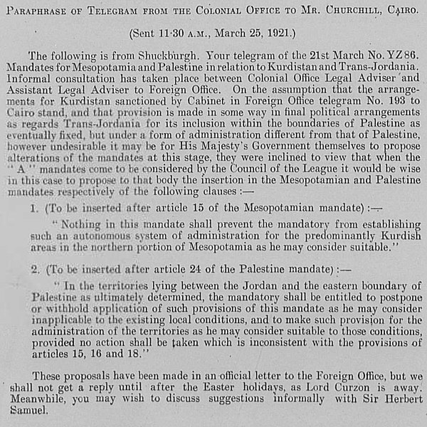
March 25, 1921 proposal, approved a week later, to include Transjordan via Article 25: "On the assumption that... provision is made in some way in final political arrangements as regards Trans-Jordania for its inclusion within the boundaries of Palestine as eventually fixed, but under a form of administration different from that of Palestine, however undesirable it may be for His Majesty's Government themselves to propose alterations of the mandates at this stage, they were inclined to view that when the "A" mandates come to be considered by the Council of the League it would be wise in this case to propose to that body the insertion... after article 24 of the Palestine mandate..."
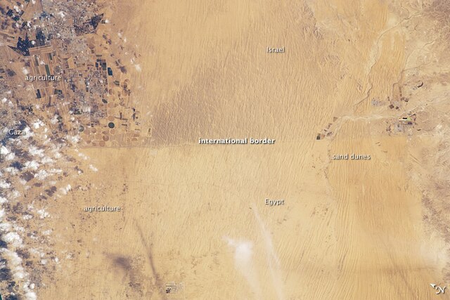
A clearly visible line marks about 80 kilometers (~50 mi) of the international border between Egypt and Israel in this photograph from the International Space Station. The reason for the color difference is likely a higher level of grazing by the Bedouin-tended animal herds on the Egyptian side of the border.
David Ben-Gurion proclaiming independence beneath a large portrait of Theodor Herzl, founder of modern Zionism

