Gopalganj District, Bangladesh
Gopalganj is a district in the Dhaka Division of Bangladesh. The district has 1,172,415 inhabitants and its surface area is 1,490 km2. The main town of the district is also called Gopalganj. It is the bank of the Madhumati river and located at 23°00’47.67" N 89°49’21.41". It is bounded by Faridpur district on the North, Pirojpur and Bagerhat district on the south, and Barisal district on the east and Narail district on the West. This district is also known as "GP" to the youth. Gopalganj is subdivided into five sub-districts (upazila/thana).
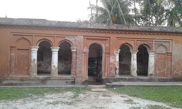
Image: Outer old house
Image: গোপালগঞ্জ
Bangabandhu Sheikh Mujibur Rahman Science & Technology University, Gopalganj
Dhaka Division is an administrative division within Bangladesh. Dhaka serves as the capital city of the Dhaka Division, the Dhaka District and Bangladesh. The division remains a population magnet, covers an area of 20,508.8 km2 with a population in excess of 44 million, It is the most populous country second level division of the world, growing at 1.94% rate since prior count, compared with national average of 1.22%. However, national figures may include data skewing expatriation of male labor force as gender ratio is skewed towards females.
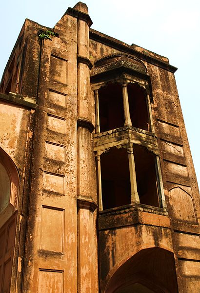
Ruins of Lalbagh Fort
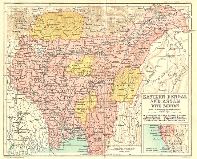
Dhaka was the capital of Eastern Bengal and Assam in the British Raj between 1905 and 1912