Grand Rounds National Scenic Byway
The Grand Rounds National Scenic Byway is a linked series of park areas in Minneapolis, Minnesota, United States, that takes a roughly circular path through the city. The Minneapolis Park and Recreation Board developed the system over many years. The corridors include roads for automobile traffic plus separate paths for pedestrians and bicycles, and extend slightly into neighboring cities. About 50 miles (80 km) of roadway and paths are in the system, and much of it was built in the 1930s as part of Civilian Conservation Corps projects.
Sign and symbol designating the route
Directional street sign
Informational kiosk
East River Flats' separate roadway and paths
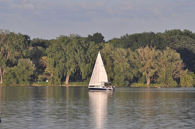
Minneapolis, officially the City of Minneapolis, is a city in and the county seat of Hennepin County, Minnesota, United States. With a population of 429,954, it is the state's most populous city as of the 2020 census. It occupies both banks of the Mississippi River and adjoins Saint Paul, the state capital of Minnesota. Minneapolis, Saint Paul, and the surrounding area are collectively known as the Twin Cities, a metropolitan area with 3.69 million residents. Minneapolis is built on an artesian aquifer on flat terrain, and is known for cold, snowy winters and hot, humid summers. Nicknamed the "City of Lakes", Minneapolis is abundant in water, with thirteen lakes, wetlands, the Mississippi River, creeks, and waterfalls. The city's public park system is connected by the Grand Rounds National Scenic Byway.
Image: Minneapolis Skyline looking south
Image: Lake Nokomis 20210531
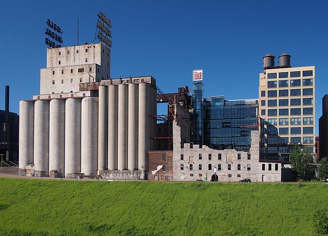
Image: Washburn A Mill 2014
Image: First Avenue


