The Great Rann of Kutch is a salt marsh in the Thar Desert in the Kutch District of Gujarat, India. It is about 7500 km2 in area and is reputed to be one of the largest salt deserts in the world. This area has been inhabited by the Kutchi people.
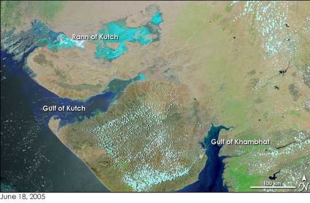
Rann of Kutch on the top left in turquoise colour. The Gulf of Kutch is further down below the Kutch region. Image: NASA Earth Observatory
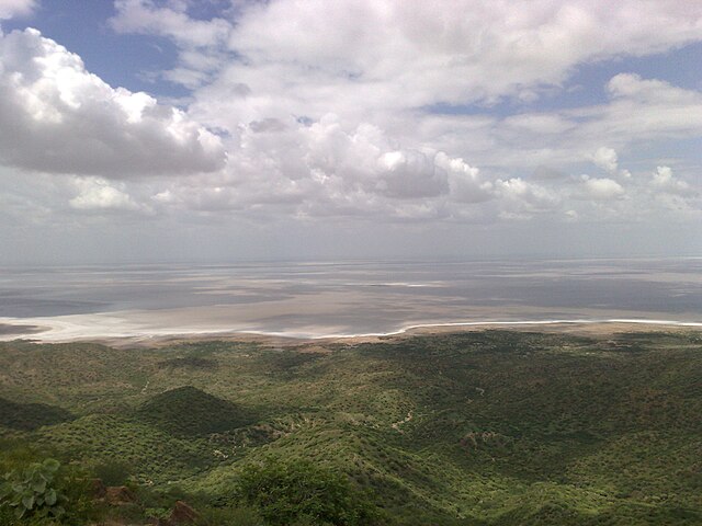
Rann of Kutch – Highest Point
Rann of Kutch – White Desert
Rann of Kutch – White Desert 2
The Thar Desert, also known as the Great Indian Desert, is an arid region in the north-western part of the Indian subcontinent that covers an area of 200,000 km2 (77,000 sq mi) in India and Pakistan. It is the world's 18th-largest desert, and the world's 9th-largest hot subtropical desert.
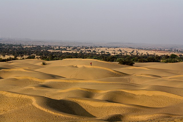
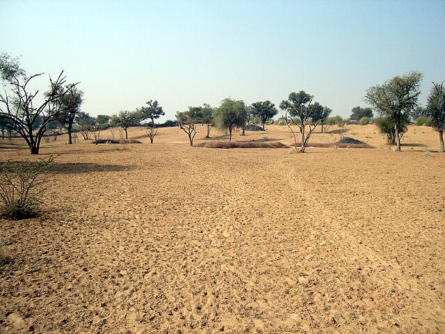
Thar Desert in Rajasthan, India
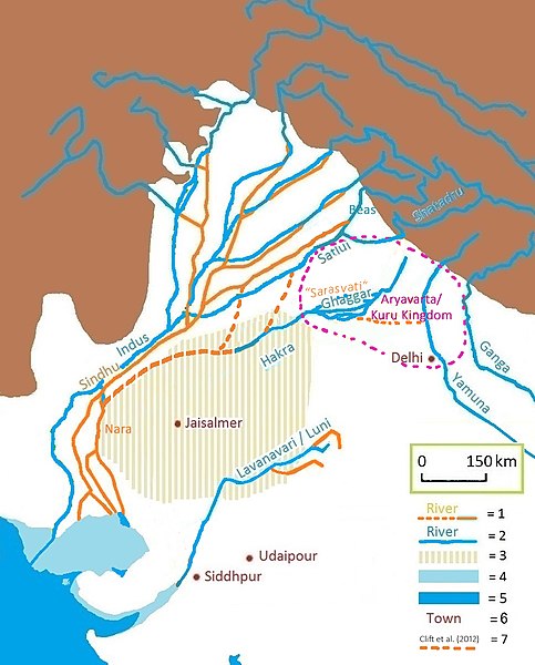
Vedic and present-day Gagghar-Hakra river-course, with Aryavarta/Kuru Kingdom, and (pre-)Harappan Hakkra/Sutlej-Yamuna paleochannels as proposed by Clift et al. (2012) and Khonde et al. (2017). See also this satellite image. 1 = ancient river 2 = today's river 3 = today's Thar desert 4 = ancient shore 5 = today's shore 6 = today's town 7 = dried-up Harappan Hakkra course, and pre-Harappan Sutlej paleochannels (Clift et al. (2012)).
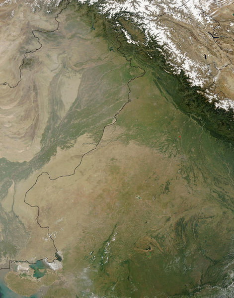
A NASA satellite image of the Thar Desert, with the India–Pakistan border
View of the Thar Desert

