Greater Bridgeport Planning Region, Connecticut
The Greater Bridgeport Planning Region is a planning region and county-equivalent in Connecticut. It is served by the coterminous Connecticut Metropolitan Council of Governments (MetroCOG). In 2022, planning regions were approved to replace Connecticut's counties as county-equivalents for statistical purposes, with full implementation occurring by 2024.
Image: Admission, Beardsley Zoo, 2009 11 06
Image: Fairfield County Courthouse, Bridgeport, Connecticut
Image: Stratford Point Lighthouse 2016
Image: Southport Harbour, Connecticut
Bridgeport is the most populous city in the U.S. state of Connecticut and the fifth-most populous city in New England, with a population of 148,654 in 2020. Located in eastern Fairfield County at the mouth of the Pequonnock River on Long Island Sound, it is a port city 60 miles (97 km) from Manhattan and 40 miles (64 km) from The Bronx. It borders the towns of Trumbull to the north, Fairfield to the west, and Stratford to the east. Bridgeport and other towns in Fairfield County make up the Greater Bridgeport Planning Region, as well as the Bridgeport–Stamford–Norwalk–Danbury metropolitan statistical area, the second largest metropolitan area in Connecticut. The Bridgeport–Stamford–Norwalk–Danbury metropolis forms part of the New York metropolitan area.
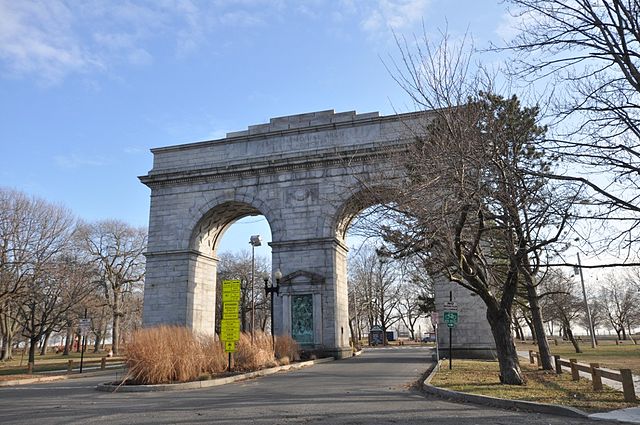
Image: Bridgeport CT Seaside Park Perry Memorial Arch
Image: Hartford Ampitheater
Image: M&T Bank Bridgeport Center regional headquarters
Image: Entrance, Beardsley Zoo, 2009 11 06


