A green belt is a policy, and land-use zone designation used in land-use planning to retain areas of largely undeveloped, wild, or agricultural land surrounding or neighboring urban areas. Similar concepts are greenways or green wedges, which have a linear character and may run through an urban area instead of around it. In essence, a green belt is an invisible line designating a border around a certain area, preventing development of the area and allowing wildlife to return and be established.
Green belt in Tehran, Iran
Adelaide Park Lands green belt around the city centre
Rennes Green Belt
A greenway is usually a shared-use path along a strip of undeveloped land, in an urban or rural area, set aside for recreational use or environmental protection. Greenways are frequently created out of disused railways, canal towpaths, utility company rights of way, or derelict industrial land. Greenways can also be linear parks, and can serve as wildlife corridors. The path's surface may be paved and often serves multiple users: walkers, runners, bicyclists, skaters and hikers. A characteristic of greenways, as defined by the European Greenways Association, is "ease of passage": that is that they have "either low or zero gradient", so that they can be used by all "types of users, including mobility impaired people".
Golf course in the Concordia neighborhood, one of many age-restricted communities with greenways in Monroe Township, Middlesex County, New Jersey, U.S.
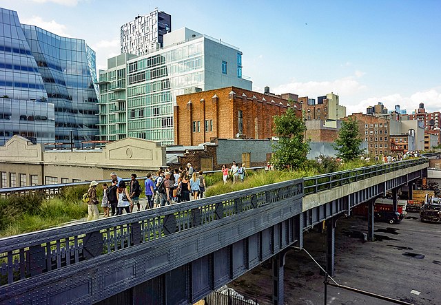
The High line, a rail-to-trail elevated linear park, is an urban greenway in Manhattan.
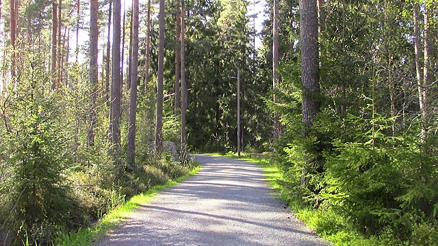
Jogging path in Pori, Finland
Railway Platforms on Parkland Walk in North London


