The Guadiana River, is an international river defining a long stretch of the Portugal-Spain border, separating Extremadura and Andalusia (Spain) from Alentejo and Algarve (Portugal). The river's basin extends from la Mancha and the eastern portion of Extremadura to the southern provinces of the Algarve; the river and its tributaries flow from east to west, then south through Portugal to the border towns of Vila Real de Santo António (Portugal) and Ayamonte (Spain), where it flows into the Gulf of Cádiz. With a course that covers a distance of 829 kilometres (515 mi), it is the fourth-longest in the Iberian peninsula, and its hydrological basin extends over an area of approximately 68,000 square kilometres (26,000 sq mi).
The Guadiana River in the area around Serpa, Portugal
Lake Alqueva along the River Guadiana
The Alqueva Dam, located in the southern arm of the Guadiana, is responsible for Western Europe's largest reservoir.
The Portugal–Spain border, also referred to as "The Stripe", is one of the oldest geopolitical borders in the world. The current demarcation is almost identical to that defined in 1297 by the Treaty of Alcañices. The Portugal–Spain border is 1,214 km (754 mi) long, and is the longest uninterrupted border within the European Union, being free of border control since March 26, 1995, with a few temporary exceptions. The border is not defined for 18 km (11 mi) between the Caia river and Ribeira de Cuncos, because of the disputed status of Olivenza/Olivença, which has been disputed between the two countries for two hundred years.
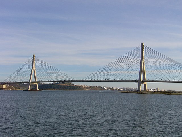
Guadiana International Bridge, connecting Portugal and Spain
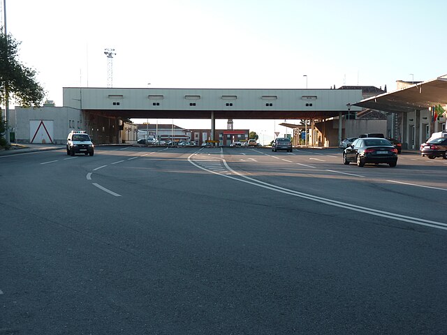
Vilar Formoso - Fuentes de Oñoro border crossing


