Gulf of California
Videos
The Gulf of California, also known as the Sea of Cortés or Sea of Cortez, or less commonly as the Vermilion Sea, is a marginal sea of the Pacific Ocean that separates the Baja California Peninsula from the Mexican mainland. It is bordered by the states of Baja California, Baja California Sur, Sonora, and Sinaloa with a coastline of approximately 4,000 km (2,500 mi). Rivers that flow into the Gulf of California include the Colorado, Fuerte, Mayo, Sinaloa, Sonora, and the Yaqui. The surface of the gulf is about 160,000 km2 (62,000 sq mi). Maximum depths exceed 3,000 meters (9,800 ft) because of the complex geology, linked to plate tectonics.

Gulf of California (highlighted in light blue)

Satellite picture of the gulf

Giant Pacific manta ray
Hernán Cortés
Videos
Hernán Cortés de Monroy y Pizarro Altamirano, 1st Marquess of the Valley of Oaxaca was a Spanish conquistador who led an expedition that caused the fall of the Aztec Empire and brought large portions of what is now mainland Mexico under the rule of the king of Castile in the early 16th century. Cortés was part of the generation of Spanish explorers and conquistadors who began the first phase of the Spanish colonization of the Americas.

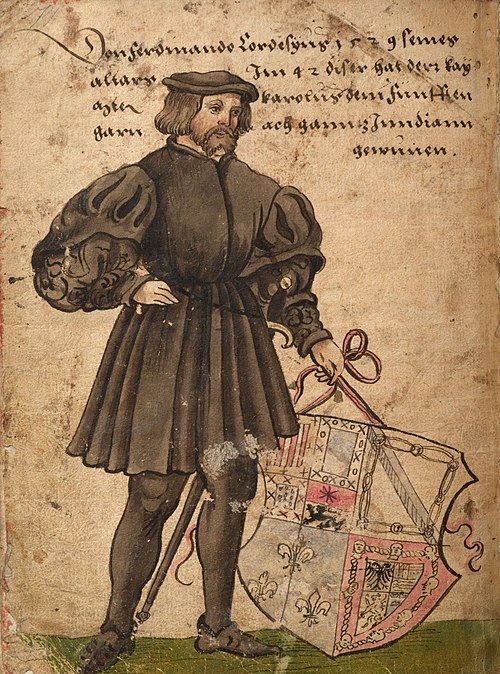
Weiditz's depiction of Cortés in 1529
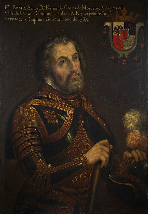
Copy of a portrait of Cortés dated to the year 1525
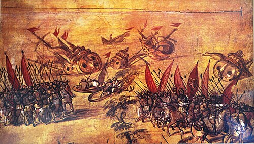
Cortés scuttling his own fleet off the coast of Veracruz in order to eliminate the possibility of retreat