The Gunbarrel Highway is an isolated desert track in the Northern Territory, South Australia and Western Australia. It consists of about 1,350 km (840 mi) of washaways, heavy corrugations, stone, sand and flood plains. The Gunbarrel Highway connects Victory Downs in the Northern Territory to Carnegie Station in Western Australia. Some sources incorrectly show the highway extending west to Wiluna.
Gunbarrel Highway
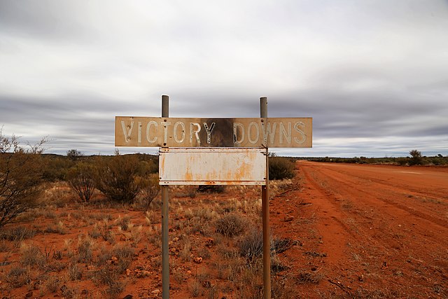
A sign marking the boundary of Victory Downs, the beginning of the original Gunbarrel Highway. This section is now known as Mulga Park Road.
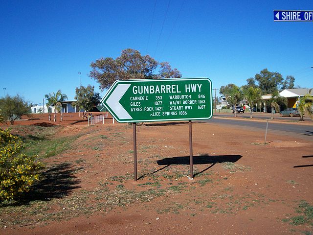
A sign at Wiluna, Western Australia.
Mt. Beadell on the Gunbarrel Highway
Wiluna, Western Australia
Wiluna is a small town in the Goldfields-Esperance region of Western Australia. It is situated on the edge of the Western Desert at the gateway to the Canning Stock Route and Gunbarrel Highway. It is the service centre of the local area for the local Martu people, the pastoral industry, the Wiluna Gold Mine, and many more people who work on other mines in the area on a "fly-in/fly-out" basis. Wiluna's climate is hot and dry, with an annual rainfall of 258 millimetres (10.2 in). Mean maximum temperatures range from 19 °C (66 °F) in July, to 38 °C (100 °F) in January.
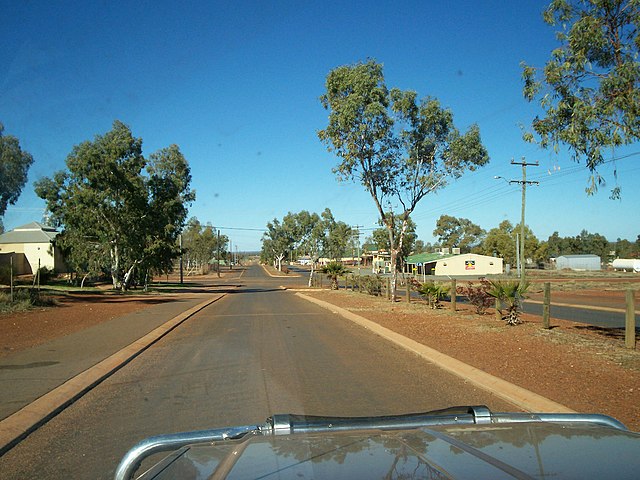
Main Street in Wiluna


