Hamilton Hills, Baltimore
Hamilton Hills is a mixed-use suburban neighborhood located in the northeastern corner of Baltimore City, Maryland. Hamilton Hills represents a section of Hamilton, a larger historic area that includes other neighborhoods in Northeast Baltimore. The neighborhood's borders are Old Harford Road and Harford Road to the east, Echodale Avenue to the south, Perring Parkway to the west and the Baltimore County line to the north. The main thoroughfare in Hamilton Hills is Harford Road, which has been an integral part of the area's history.
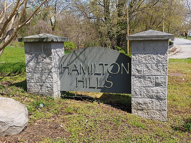
Sign for Baltimore's Hamilton Hills neighborhood that says "Hamilton Hills" (2021)
Southbound view from what is today 5535 Harford Road (1910)
Southbound view of Harford Road at White Avenue showing streetcars and automobiles (1956)
The southwest corner of Harford Road and Hamilton Avenue (2013)
Old Harford Road, one of the oldest continuously used rights-of-way in central Maryland, United States, is a southwest–northeast thoroughfare in northeast Baltimore City and eastern Baltimore County.
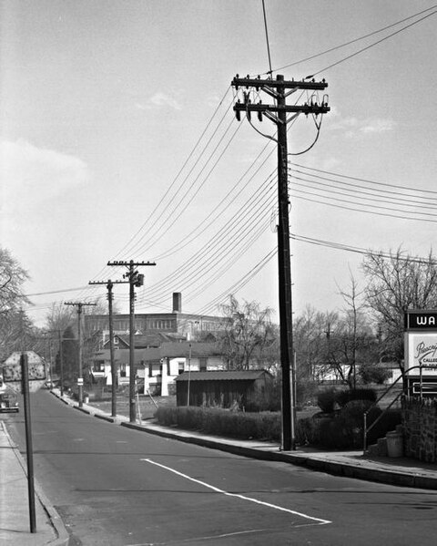
6000-block of Old Harford Road at Harford Road / Glenmore Ave, looking north, showing World War I - era bungalow construction and Hamilton Elementary School (1927) in middle distance; Apr. 1950
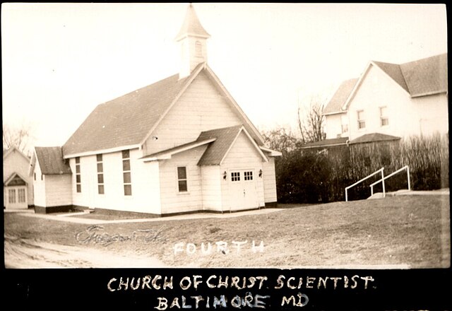
Fourth Church of Christ, Scientist, formerly St. Andrew's Chapel and Episcopal Church, 6010 Old Harford Road, looking northwest, c. 1925. The 1874 structure was razed in 1983 for construction of the larger Calvary Tabernacle worship facility now on the site.
Calvary Tabernacle (formerly, Saint Andrew's Chapel and Episcopal Church and also the Fourth Church of Christ, Scientist, Baltimore), at 6010 Old Harford Road; looking northwest in 1982.
Typical home built during the "first wave" (c. 1910-1920) of suburban development along Old Harford Road in the Hamilton area of Baltimore; c. 1920 view looking northeast (courtesy of Matt Fleagle)


