Hattersley
Videos
Page
Hattersley is an area of Tameside, Greater Manchester, England; it is located 4 miles (6.4 km) west of Glossop and 10 miles (16 km) east of Manchester, at the eastern terminus of the M67. Historically part of Tintwistle Rural District in Cheshire until 1974, it is the site of an overspill estate built by Manchester City Council in the 1960s.
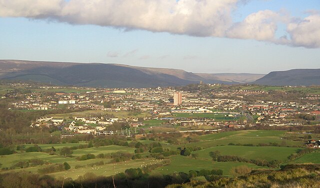
A view over Hattersley, from Werneth Low

Council homes originally built by Manchester in the 1960s
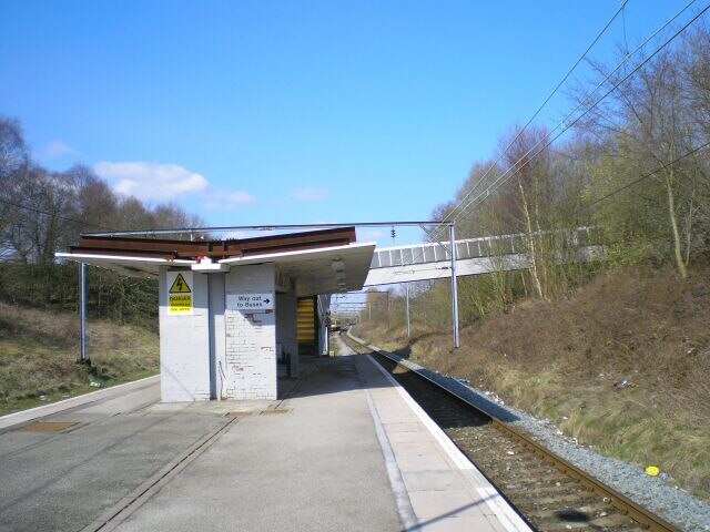
Hattersley railway station
Tameside
Videos
Page
Tameside is a metropolitan borough of Greater Manchester, England, named after the River Tame, which flows through it, and includes the towns of Ashton-under-Lyne, Audenshaw, Denton, Droylsden, Dukinfield, Hyde, Mossley and Stalybridge. Tameside is bordered by the metropolitan boroughs of Stockport to the south, Oldham to the north and northeast, Manchester to the west, and to the east by the Borough of High Peak in Derbyshire. As of 2022, the population of Tameside was 232,753, making it the 8th-most populous borough of Greater Manchester by population.

Tameside from Werneth Low

Werneth Low with the Greater Manchester Urban Area in the background.
View from Werneth Low over Hyde (left, foreground), towards Ashton-under-Lyne (centre) in the background.

A view over Tameside, towards Manchester city centre.