The Hauraki Plains are a geographical feature and non-administrative area located in the northern North Island of New Zealand, at the lower (northern) end of the Thames Valley. They are located 75 kilometres south-east of Auckland, at the foot of the Coromandel Peninsula and occupy the southern portion of a rift valley bounded on the north-west by the Hunua Ranges, to the east by the Coromandel and Kaimai ranges and to the west by a series of undulating hills which separate the plains from the much larger plains of the Waikato River. Broadly, the northern and southern parts of the Hauraki Plains are administered by the Hauraki District and the Matamata-Piako District respectively.

A true-colour image acquired by NASA's Terra satellite, on 23 October 2002. The Hauraki Plains are at the base of the large bay (the Firth of Thames) just to the lower right of centre. Dark green forest outlines the Kaimai Ranges to the east of the plains, and the Hunua and Coromandel ranges, west and east respectively, of the firth.
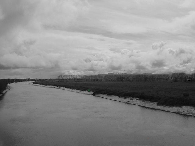
Control works in the floodplain of the Piako River played a big role in the draining of the Hauraki Plains
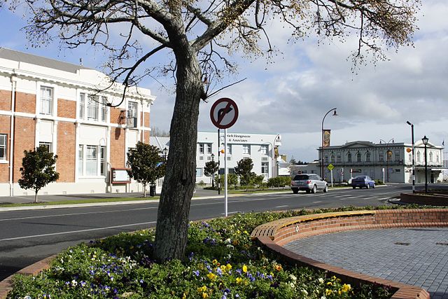
Hauraki District is a territorial authority within the Hauraki region of New Zealand. The seat of the council is at Paeroa.
Paeroa Post Office


