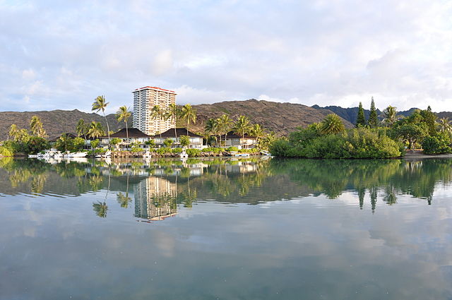
Hawaiʻi Kai, also known as Maunalua or Koko Marina, is a largely residential area located in the City & County of Honolulu, in the East Honolulu CDP, on the island of Oʻahu. Hawaiʻi Kai is the largest of several communities at the eastern end of the island. The area was largely developed by Henry J. Kaiser around the ancient Maunalua fishpond and wetlands area known as Kuapā. Hawaiʻi Kai or Koko Marina was dredged from Kuapā Pond starting around 1959. Dredging not only transformed the shallow coastal inlet and wetlands into a marine embayment, but was accompanied by considerable filling and clearing of the pond margins. In 1961, Kaiser-Aetna entered into a lease agreement with the land owner, the Bernice Pauahi Bishop Estate, to develop the 521 acre (2.11 km2) fishpond into residential tracts with a marina and channels separated by fingers of land and islands upon which house lots and commercial properties would be laid out and developed. Nearly all of the low-lying lands surrounding the marina have since been developed, and neighborhoods now extend back into the several valleys and up the separating ridges.

Aerial view of Maunalua (Hawaii Kai) and Koko Head
Hawaiʻi Kai
Hawaiʻi Kai at Sunrise
Hawaiʻi Kai and the Hanauma Crater
Honolulu County, officially known as the City and County of Honolulu, is a consolidated city-county in the U.S. state of Hawaii. The city-county includes both Urban Honolulu and the rest of the neighborhoods on the island of Oʻahu, as well as several minor outlying islands, including all of the Northwestern Hawaiian Islands except Midway Atoll.
Downtown Honolulu, the city and county urban center
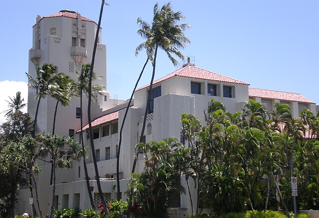
Honolulu Hale is the county seat, home of the County mayor and council.
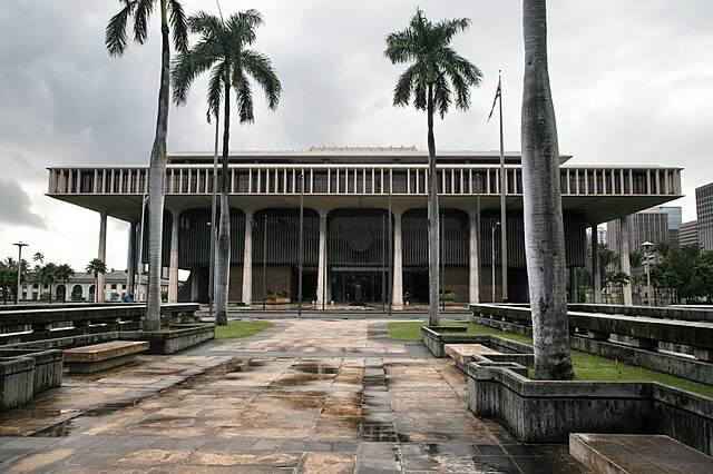
The Capitol of the State of Hawaiʻi
Honolulu International Airport