Heuvelland is a municipality located in the Belgian province of West Flanders. The municipality comprises the villages of Dranouter, Kemmel, De Klijte, Loker, Nieuwkerke, Westouter, Wijtschate and Wulvergem. Heuvelland is a thinly populated rural municipality, located between the small urban centres of Ypres and Poperinge and the metropolitan area of Kortrijk-Lille along the E17. On 1 January 2006 Heuvelland had a total population of 8,217. The total area is 94.24 km2 which gives a population density of 87 inhabitants per km2. The name heuvelland is Dutch meaning "hill country", as the municipality is characterized by the different hills on its territory.
Heuvelland
Kemmelberg, seen from the west
Landscape, with the village of Loker, as seen from the Rodeberg
German concrete bunker at the Bayernwald Trenches in Croonaert Wood
The Kemmelberg is a hill formation in Flanders, Belgium. It is located less than a kilometre from the village of Kemmel, part of the municipality of Heuvelland in the province of West Flanders. The Kemmelberg is the highest point in the province with an altitude of 154 metres (505 ft), this is the geodetic point with mark Ch63.1, as measured by the National Geographical Institute (NGI) in Brussels in October 1951 via optical levelling.
The Kemmelberg, as seen from the west
1918 painting of the Kemmelberg by Richard Carline, depicting battles of World War I
Bodies on the Kemmelberg in April 1918
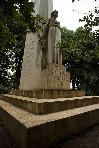
Monument for French soldiers


