The High Tauern are a mountain range on the main chain of the Central Eastern Alps, comprising the highest peaks east of the Brenner Pass. The crest forms the southern border of the Austrian states of Salzburg, Carinthia and East Tyrol, with a small part in the southwest belongs to the Italian province of South Tyrol. The range includes Austria's highest mountain, the Grossglockner at 3,798 metres (12,461 ft) above the Adriatic.
Panorama of the Venediger Group
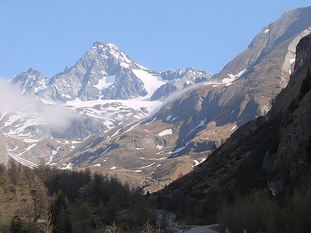
The Großglockner from the south
The Dreiherrnspitze from the west in the year 1890
The Hochgall in winter from the west
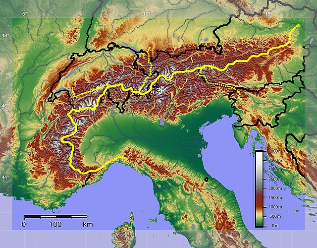
The main chain of the Alps, also called the Alpine divide is the central line of mountains that forms the drainage divide of the range. Main chains of mountain ranges are traditionally designated in this way, and generally include the highest peaks of a range. The Alps are something of an unusual case in that several significant groups of mountains are separated from the main chain by sizable distances. Among these groups are the Dauphine Alps, the Eastern and Western Graians, the entire Bernese Alps, the Tödi, Albula and Silvretta groups, the Ortler and Adamello ranges, and the Dolomites of South Tyrol, as well as the lower Alps of Vorarlberg, Bavaria, and Salzburg.
Main chain of the Alps
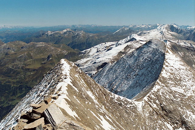
Main ridge (Fuscherkarkopf) in the Hohe Tauern range
View of the Witenwasserenstock with the tripoint between the Rhone, Rhine, and Po basins (center left)


