High Weald National Landscape
Videos
Photos
The High Weald National Landscape is in south-east England. Covering an area of 1,450 square kilometres (560 sq mi), it takes up parts of Kent,
Surrey, East Sussex, and West Sussex. It is the fourth largest Area of Outstanding Natural Beauty (AONB) in England and Wales. It has an attractive landscape with a mosaic of small farms and woodlands, historic parks, sunken lanes and ridge-top villages.

Typical view of a ridge top village in the High Weald AONB
Kent
Videos
Photos
Kent is a county in the South East England region, the closest county to continental Europe. It borders Essex across the entire estuary of the River Thames to the north; the French department of Pas-de-Calais across the Strait of Dover to the south-east; East Sussex to the south-west; Surrey to the west and Greater London to the north-west. The county town is Maidstone.

Image: White Cliffs of Dover, Kent
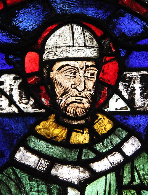
Image: Saint Thomas Becket (Samuel Caldwell, 1919) crop

An early mention of Kent in the Anglo-Saxon Chronicle between 11th and 12th centuries
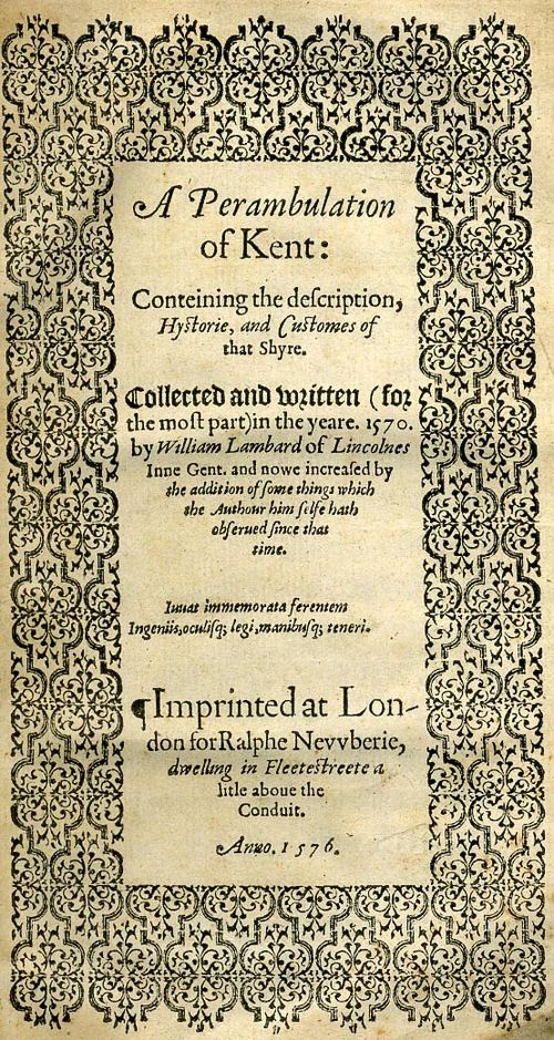
Title page of William Lambarde's Perambulation of Kent (completed in 1570 and published in 1576), a historical description of Kent and the first published county history