The Humber River is a river in Southern Ontario, Canada. It is in the Great Lakes Basin, is a tributary of Lake Ontario and is one of two major rivers on either side of the city of Toronto, the other being the Don River to the east. It was designated a Canadian Heritage River on September 24, 1999.
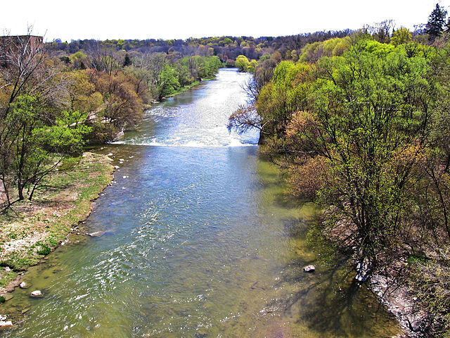
The Humber River in Toronto
By the 17th century the area was a crucial point for travel, with the Humber River making up the southern portion of the Toronto Passage.
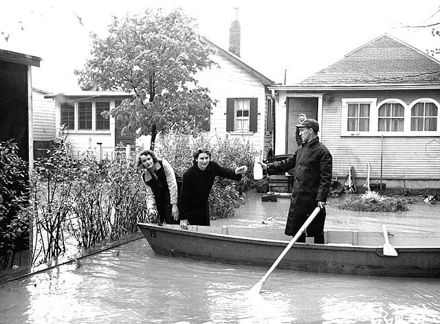
The Humber River saw water levels rise significantly after Hurricane Hazel. The resulting flood devastated nearby residences on Raymore Drive.
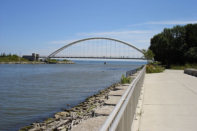
The mouth of the Humber River at Lake Ontario
Lake Ontario is one of the five Great Lakes of North America. It is bounded on the north, west, and southwest by the Canadian province of Ontario, and on the south and east by the U.S. state of New York. The Canada–United States border spans the centre of the lake.
Lake Ontario seen from the International Space Station on August 24, 2013. The cloudy yellowish substance is algae bloom.
Hamilton Harbour frozen over. Ice sheets can form along the shoreline of Lake Ontario during the winter.
Profile of coastal wetlands for Lake Ontario
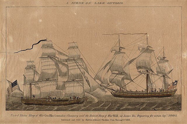
USS General Pike and HMS Wolfe prepare for action on September 28, 1813. The battle was one of several engagements that took place on Lake Ontario during the War of 1812.

