Humberside was a non-metropolitan and ceremonial county in Northern England from 1 April 1974 until 1 April 1996. It was composed of land from either side of the Humber, created from portions of the East Riding of Yorkshire, West Riding of Yorkshire, and the northern part of Lindsey, Lincolnshire. The county council's headquarters was County Hall at Beverley, inherited from East Riding County Council. Its largest settlement and only city was Kingston upon Hull. Other notable towns included Goole, Beverley, Scunthorpe, Grimsby, Cleethorpes and Bridlington. The county stretched from Wold Newton at its northern tip to a different Wold Newton at its southernmost point.
Image: Humberside North
Image: Humberside South
Northern England, also known as the North of England, or simply the North, is the northern area of England. It partly corresponds to the former borders of Anglian Northumbria, the Anglo-Scandinavian Kingdom of Jorvik and the Brythontic Celtic Hen Ogledd kingdoms.
Scafell Pike, England's highest peak, alongside Wastwater, its deepest lake
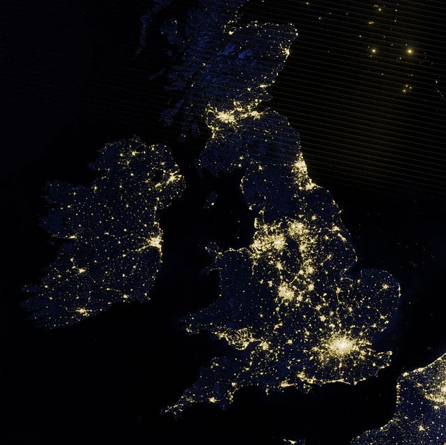
Urban sprawl in the southern Pennines and north east coast is clearly visible in night-time imagery.
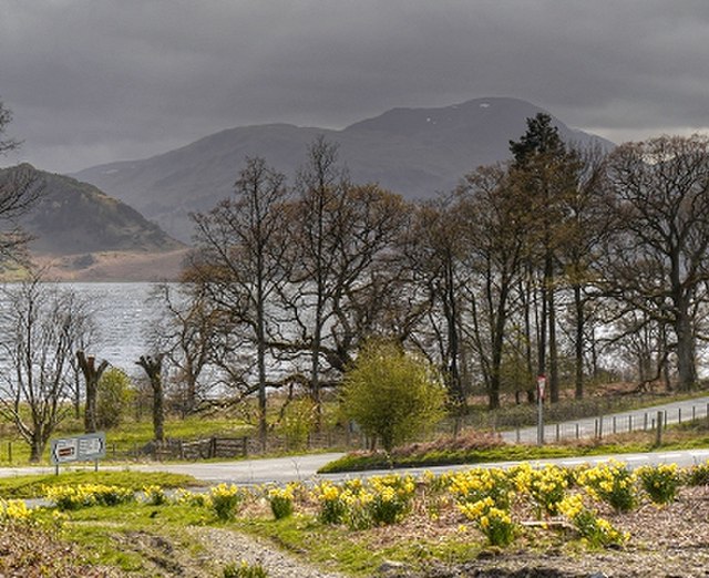
The daffodils of the Lake District are immortalised in Wordsworth's "I Wandered Lonely as a Cloud".
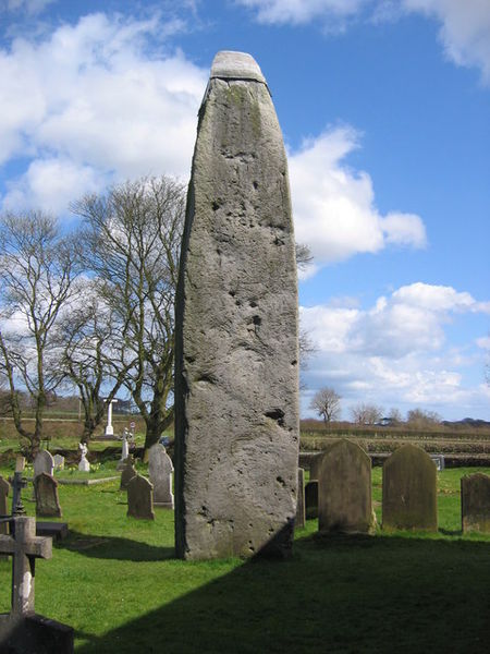
Rudston Monolith, from the late Neolithic or early Bronze Age, is the tallest megalith in Great Britain.


