Humewood–Cedarvale is an area of Toronto, Ontario, Canada, consisting of Humewood in the south, divided by Vaughan Road and Cedarvale Ravine. The neighbourhood is bordered by Bathurst Street on the east, Eglinton Avenue to the north, Arlington Avenue to the west, and St. Clair Avenue to the south. Humewood has also been known as "the Woods" because of its many streets that have names ending with "-wood", including Wychwood, Humewood, Cherrywood, Valewood, Maplewood, Wellwood, Kenwood, and Pinewood. The neighbourhood's main commercial areas are along St. Clair Ave. W., referred to as Hillcrest Village and along Eglinton Ave. W..
Strathearn Road in Cedarvale
Cedarvale Park and its surrounding Castle Frank ravine acts as a natural border between the neighbourhoods of Humewood and Cedarvale.
The TTC operates several transit lines in the area, including the 512 St. Clair streetcar line.
Vaughan Road is a road in Toronto, Ontario, Canada. It is a contour collector road that is parallel to a buried creek to the north called Castle Frank Brook. Vaughan Road begins on Bathurst Street south of St. Clair Avenue West, then it becomes a north–south street, hence its address numbering system, then it becomes a northwest–southeast street. Finally, Vaughan Road ends in a dead-end near Fairbank station at the intersection of Eglinton Avenue and Dufferin Street. Vaughan Road Academy is named after this road.
Vaughan Road is aligned northwest–southeast between Bathurst and St. Clair. Note the single streetcar track in the Old Toronto segment.
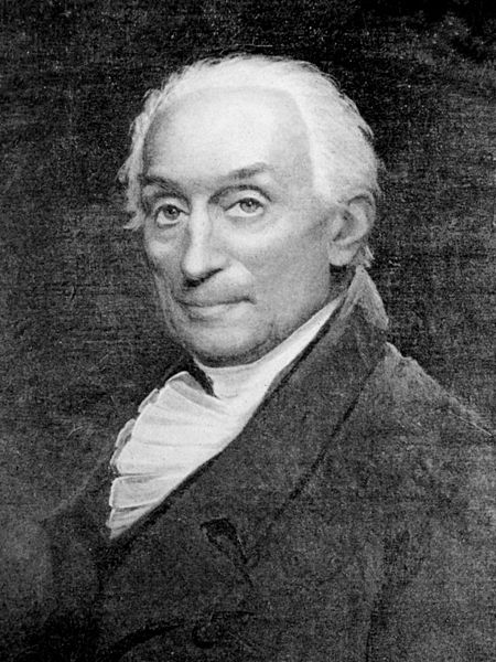
Vaughan Road is indirectly named after Benjamin Vaughan
Constructed in 1911, St. Alphonsus Roman Catholic Church is a landmark near Vaughan Road
This steel palm tree at the intersection of Oakwood and Vaughan both unites the community and generates controversy on its own


