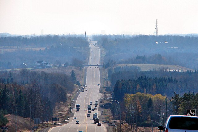
Hurontario Street is a roadway running in Ontario, Canada between Lake Ontario at Mississauga and Lake Huron's Georgian Bay at Collingwood. Within Peel Region, it is a major urban thoroughfare within the cities of Mississauga and Brampton, which serves as the divide from which cross-streets are split into East and West, except at its foot in the historic Mississauga neighbourhood of Port Credit. Farther north, with the exception of the section through Simcoe County, where it forms the 8th Concession, it is the meridian for the rural municipalities it passes through. In Dufferin County, for instance, parallel roads are labelled as EHS or WHS for East of Hurontario Street.
Two examples of continued use of the "Highway 10" vernacular in Mississauga: By a business (top) and at the Hurontario & 407 Park and Ride lot (bottom); the latter being a rare case of present official usage along the street through the city.
Looking north up Hurontario St. from King St. in Mississauga
Main St. in downtown Brampton
Hurontario as Hwy. 10 through Caledon
Mississauga, historically known as Toronto Township, is a Canadian city in the province of Ontario, situated on the western shore of Lake Ontario in the Regional Municipality of Peel, adjoining the western border of Toronto. With a population of 717,961 as of 2021, Mississauga is the seventh-most populous municipality in Canada, third-most in Ontario, and second-most in the Greater Toronto Area (GTA) after Toronto itself. However, for the first time in its history, the city's population declined according to the 2021 census, from a 2016 population of 721,599 to 717,961, a 0.5 per cent decrease.
Image: Mississauga skyline from Pearson
Image: Mississauga Civic Centre (2009)
Image: Port Credit, ON Snug Harbour
Image: Health Sciences Complex


