Hurricane Irene was a large and destructive tropical cyclone which affected much of the Caribbean and East Coast of the United States during late August 2011. The ninth named storm, first hurricane, and first major hurricane of the 2011 Atlantic hurricane season, Irene originated from a well-defined Atlantic tropical wave that began showing signs of organization east of the Lesser Antilles. Due to development of atmospheric convection and a closed center of circulation, the system was designated as Tropical Storm Irene on August 20, 2011. After intensifying, Irene made landfall in St. Croix as a strong tropical storm later that day. Early on August 21, the storm made a second landfall in Puerto Rico. While crossing the island, Irene strengthened into a Category 1 hurricane. The storm paralleled offshore of Hispaniola, continuing to slowly intensify in the process. Shortly before making four landfalls in the Bahamas, Irene peaked as a 120 mph (190 km/h) Category 3 hurricane.

Irene at peak intensity over the southern Bahamas on August 24
Hurricane Irene's remnants on August 30, in the process of being absorbed by another system.
Hurricane Irene shortly after landfall in the Outer Banks of North Carolina
Satellite image of Irene making landfall in New York City.
East Coast of the United States
The East Coast of the United States, also known as the Eastern Seaboard, the Atlantic Coast, and the Atlantic Seaboard, is the region encompassing the coastline where the Eastern United States meets the Atlantic Ocean. The Thirteen Colonies, which formed the United States in 1776 were located on this coast, and it has played an important role in the development of the United States.
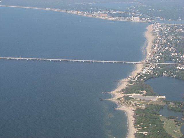
Aerial view of the Virginia Beach entrance to the Chesapeake Bay Bridge–Tunnel
South Mountain in eastern Pennsylvania with Allentown in the foreground in December 2010
The Fulton Chain of Lakes in Adirondack Park in Upstate New York in August 2007
Image: Old Town Alexandria from George Washington Masonic National Memorial