Ice calving, also known as glacier calving or iceberg calving, is the breaking of ice chunks from the edge of a glacier. It is a form of ice ablation or ice disruption. It is the sudden release and breaking away of a mass of ice from a glacier, iceberg, ice front, ice shelf, or crevasse. The ice that breaks away can be classified as an iceberg, but may also be a growler, bergy bit, or a crevasse wall breakaway.
A calving glacier and the resulting ice field
Landsat image of Jakobshavn Isbræ. The lines show the position of the calving front of the Jakobshavn Isbræ since 1851. The date of this image is 2001 and the calving front of the glacier can be seen at the 2001 line. The area stretching from the calving front to the sea (towards the bottom left corner) is the Ilulissat icefjord. Courtesy of NASA Space Observatory.
Glacier Bay, glacier calving
An ice shelf is a large platform of glacial ice floating on the ocean, fed by one or multiple tributary glaciers. Ice shelves form along coastlines where the ice thickness is insufficient to displace the more dense surrounding ocean water. The boundary between the ice shelf (floating) and grounded ice is referred to as the grounding line; the boundary between the ice shelf and the open ocean is the ice front or calving front.
View of the Larsen Ice Shelf grounding line between Mamelon Point and Hodges Point along the Foyn Coast of the Antarctic Peninsula. The floating ice shelf is in the left foreground, and the grounding line is visible as an abrupt change in surface slope due to flexure caused by the buoyancy force where the ice reaches flotation.
Some named Antarctic iceshelves.
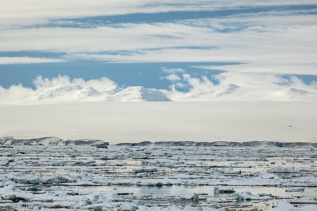
Ice shelf extending approximately 6 miles into the Antarctic Sound from Joinville Island
Panorama of Ross Ice Shelf