The Illawarra escarpment, or officially the Illawarra Range, is the fold-created cliffs and plateau-eroded outcrop mountain range west of the Illawarra coastal plain south of Sydney, in the state of New South Wales, Australia. The range encloses the Illawarra region which stretches from Stanwell Park in the north to Kiama, Gerringong and the Shoalhaven River in the south.
Lookout from the Illawarra escarpment above Wombarra over the northern Illawarra plain viewing Austinmer, Thirroul, Bulli, Wollongong up to Port Kembla in the far distance.
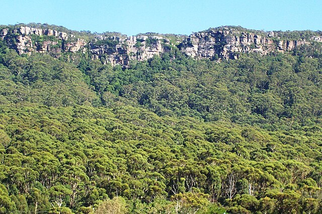
An early morning view of the Illawarra escarpment west of Albion Park (20 km south of Wollongong)
Drosera binata, Barren Grounds
Hakea teretifolia, Barren Grounds
The Illawarra is a coastal region in the southeast of the Australian state of New South Wales. It is situated immediately south of Sydney and north of the South Coast region. It encompasses the two cities of Wollongong, Shellharbour and the coastal town of Kiama. Wollongong is the largest city of the Illawarra with a population of 240,000, then Shellharbour with a population of 70,000 and Kiama with a population of 10,000. These three cities have their own suburbs. Wollongong stretches from Otford in the north to Windang in the south, with Maddens Plains and Cordeaux in the west.
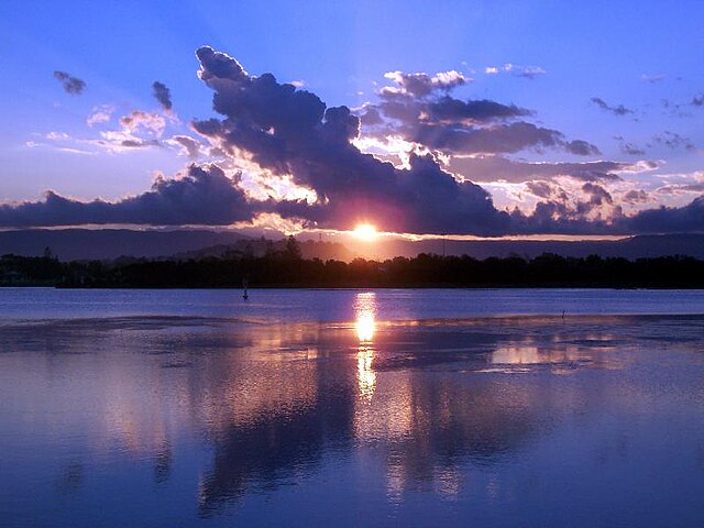
Sunset over Lake Illawarra
Lookout from the Illawarra escarpment above Wombarra over the northern Illawarra plain viewing Austinmer, Thirroul, Bulli, Wollongong up to Port Kembla in the far.
Illawarra Escarpment above Austinmer, showing Hawkesbury sandstone, Rainforest and Eucalyptus forest.
A section of the Illawarra coastline, c. 1900