Illinois and Michigan Canal
The Illinois and Michigan Canal connected the Great Lakes to the Mississippi River and the Gulf of Mexico. In Illinois, it ran 96 miles (154 km) from the Chicago River in Bridgeport, Chicago to the Illinois River at LaSalle-Peru. The canal crossed the Chicago Portage, and helped establish Chicago as the transportation hub of the United States, before the railroad era. It was opened in 1848. Its function was partially replaced by the wider and deeper Chicago Sanitary and Ship Canal in 1900, and it ceased transportation operations with the completion of the Illinois Waterway in 1933.
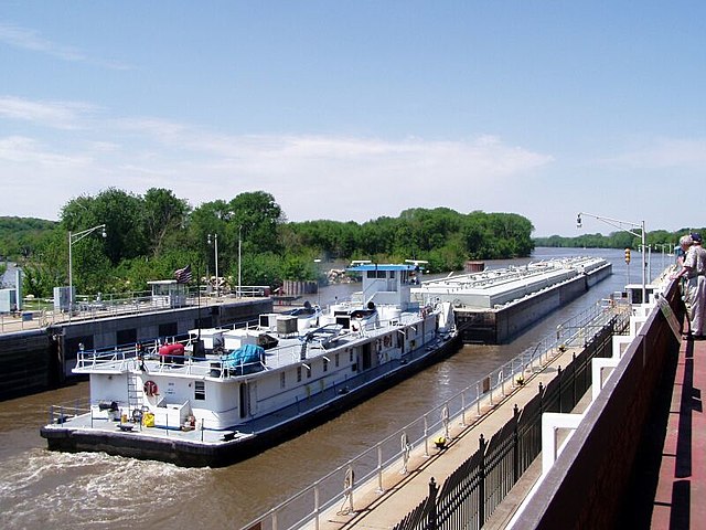
a scene at Seneca, Illinois
New lock and dam structures that replaced the historic Illinois and Michigan Canal
Illinois and Michigan Canal west of Willow Springs, where the unused canal is clogged with fallen trees
Fox River Aqueduct in Ottawa, Illinois
Illinois is a state in the Midwestern region of the United States. It borders Lake Michigan to its northeast, the Mississippi River to its west, and the Wabash and Ohio rivers to its south. Of the fifty U.S. states, Illinois has the fifth-largest gross domestic product (GDP), the sixth-largest population, and the 25th-most land area. Its largest urban areas include Chicago and the Metro East of Greater St. Louis, as well as Peoria, Rockford, Champaign–Urbana, and Springfield, the state's capital.
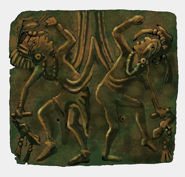
Mississippian copper plate found at the Saddle Site in Union County, Illinois
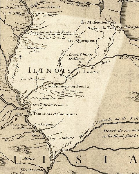
Illinois in 1718, approximate modern state area highlighted, from Carte de la Louisiane et du cours du Mississipi by Guillaume de L'Isle
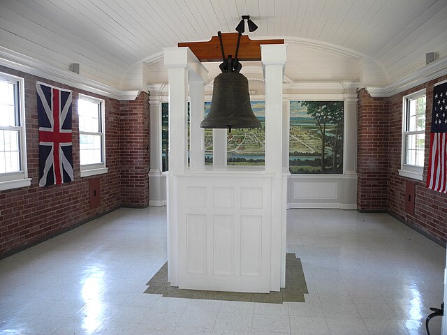
The bell donated by King Louis XV in 1741 to the French mission at Kaskaskia. It was later called the "Liberty Bell of the West", after it was rung to celebrate U.S. victory in the Revolution
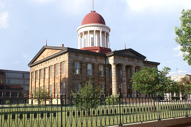
Old State Capitol: Abraham Lincoln and other area legislators were instrumental in moving the state capitol to centrally located Springfield in 1839.