Imbros, officially Gökçeada since 29 July 1970, is the largest island of Turkey, located in Çanakkale Province. It is located in the north-northeastern Aegean Sea, at the entrance of Saros Bay, and has the westernmost point of Turkey. Imbros has an area of 286.8 km2 (110.7 sq mi), and has some wooded areas.
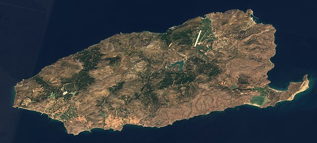
Satellite view of Gökçeada in 2016
View of Samothrace from Imbros
Australian Army Service Corps wagons loading bread at the First Australian Field Bakery, at Imbros (c.1915)
Mountains of Imbros, with the highest mountain, the extinct cone-shaped volcano İlyas Dağ, on the right
The Aegean Sea is an elongated embayment of the Mediterranean Sea between Europe and Asia. It is located between the Balkans and Anatolia, and covers an area of some 215,000 km2 (83,000 sq mi). In the north, the Aegean is connected to the Marmara Sea, which in turn connects to the Black Sea, by the straits of the Dardanelles and the Bosphorus, respectively. The Aegean Islands are located within the sea and some bound it on its southern periphery, including Crete and Rhodes. The sea reaches a maximum depth of 2,639 m (8,658 ft) to the west of Karpathos. The Thracian Sea and the Sea of Crete are main subdivisions of the Aegean Sea.
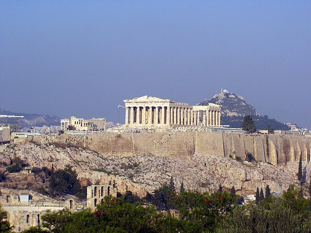
Athens
İzmir
Image: White Tower and Beach front
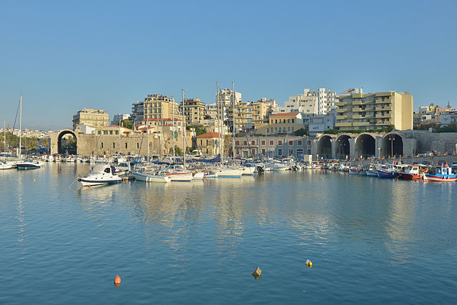
Image: Venetian Arsenals in Heraklion Crete


