Indian Arm is a steep-sided glacial fjord adjacent to the city of Vancouver in southwestern British Columbia. Formed during the last Ice Age, it extends due north from Burrard Inlet, between the communities of Belcarra and the District of North Vancouver, then on into mountainous wilderness. Burrard Inlet and the opening of Indian Arm was mapped by Captain George Vancouver and fully explored days later by Dionisio Alcalá Galiano in June 1792.
A southward view of Indian Arm, taken along the Dilly Dally Loop Trail in Indian Arm Provincial Park
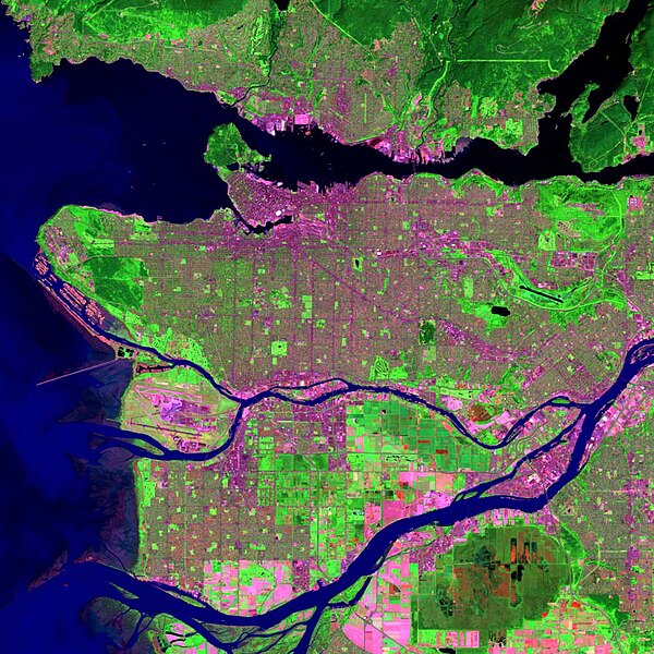
Satellite photo of the Vancouver region; Indian Arm is in the upper right corner.
Buntzen No. 1 before additions 49°22′31″N 122°52′08″W / 49.3751748°N 122.8687525°W / 49.3751748; -122.8687525
Buntzen No. 2 power plant 49°22′12″N 122°52′31″W / 49.3701245°N 122.8753319°W / 49.3701245; -122.8753319
Burrard Inlet is a shallow-sided fjord in the northwestern Lower Mainland, British Columbia, Canada. Formed during the last Ice Age, it separates the City of Vancouver and the rest of the lowland Burrard Peninsula to the south from the coastal slopes of the North Shore Mountains, which span West Vancouver and the City and District of North Vancouver to the north.
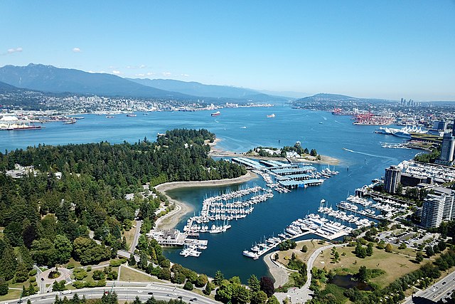
Aerial view of Burrard Inlet
Part of the Outer Harbour (upper area), extending to part of the Central Harbour (lower area) on April 5, 2022. Taken from the International Space Station during Expedition 67; north is oriented towards the right and somewhat down.
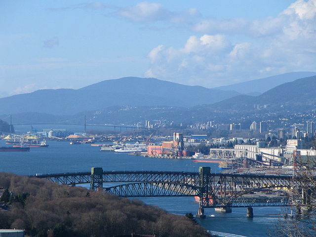
Burrard Inlet and the Second Narrows Ironworkers Memorial Bridge, looking west from Capitol Hill in Burnaby


