Indre Østerbro, was one of the administrative, statistical, and tax city districts ("bydele") comprising the municipality of Copenhagen, Denmark. It lay on the eastern edge of the municipality. It covered an area of 6.76 km2, had a population of 46,095 and a population density of 6,817 per km2. Since 2007, the district has been part of the administrative district Østerbro.
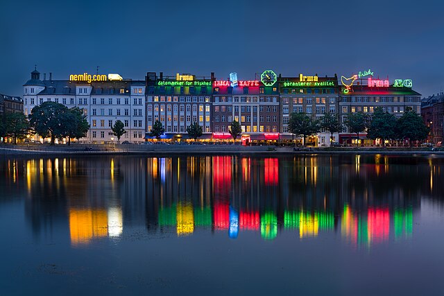
Langelinie in Indre Østerbro
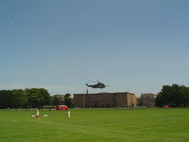
Fælledparken in Indre Østerbro
The building owned by the Danish Order of Freemasons in Indre Østerbro, seen from the park Fælledparken
Copenhagen Municipality, also known in English as the Municipality of Copenhagen, located in the Capital Region of Denmark, is the largest of the four municipalities that constitute the City of Copenhagen, the other three being Dragør, Frederiksberg, and Tårnby. The Municipality of Copenhagen constitutes the historical city centre and the majority of its landmarks. It is the most populous in the country with a population of 656,787 inhabitants, and covers 86.4 square kilometres (33.4 sq mi) in area,. Copenhagen Municipality is located at the Zealand and Amager islands and totally surrounds Frederiksberg Municipality on all sides. The strait of Øresund lies to the east. The city of Copenhagen has grown far beyond the municipal boundaries from 1901, when Frederiksberg Municipality was made an enclave within Copenhagen Municipality. Frederiksberg has the largest population density of the municipalities of Denmark.
Copenhagen Skyline
Nørrebro
Slotsholmen
Amalienborg and Frederik's Church


