Instrument landing system
In aviation, the instrument landing system (ILS) is a precision radio navigation system that provides short-range guidance to aircraft to allow them to approach a runway at night or in bad weather. In its original form, it allows an aircraft to approach until it is 200 feet (61 m) over the ground, within a 1⁄2 mile (800 m) of the runway. At that point the runway should be visible to the pilot; if it is not, they perform a missed approach. Bringing the aircraft this close to the runway dramatically increases the range of weather conditions in which a safe landing can be made. Other versions of the system, or "categories", have further reduced the minimum altitudes, runway visual ranges (RVRs), and transmitter and monitoring configurations designed depending on the normal expected weather patterns and airport safety requirements.

View of the primary component of the ILS, the localizer, which provides lateral guidance. The transmitter and antenna are on the centerline at the opposite end of the runway from the approach threshold. Photo of Indra's Normarc localizer, taken at the runway 06L of the Montréal–Trudeau International Airport, Canada.
The localizer station for runway 27R at Hannover Airport in Germany
Glide slope station for runway 09R at Hannover Airport in Germany
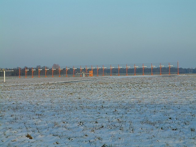
Odate-Noshiro Airport approach lighting system.
Radio navigation or radionavigation is the application of radio frequencies to determine a position of an object on the Earth, either the vessel or an obstruction. Like radiolocation, it is a type of radiodetermination.
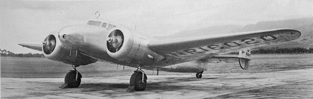
Amelia Earhart's Lockheed Electra had a prominent RDF loop on the cockpit roof.
The Orfordness Beacon as it appears today.
VOR transmitter station
Cessna 182 with GPS-based "glass cockpit" avionics