Interstate 440 (North Carolina)
Interstate 440 (I-440), also known as the Raleigh Beltline, the Cliff Benson Beltline, or locally as The Beltline, is an Interstate Highway in the US state of North Carolina. I-440 is a 16.4-mile-long (26.4 km) partial beltway that nearly encircles central Raleigh. I-440 begins in west Raleigh at an interchange with I-40 as a continuation of U.S. Highway 64 (US 64)/US 1 and traverses a primarily residential area in west Raleigh. The freeway makes a turn toward the east, crossing US 70, Six Forks Road, and Wake Forest Road. US 1 branches north off I-440 at US 401, becoming US 401/US 1. I-440 turns toward the southeast and follows a brief concurrency with U.S. Highway 64 Business before intersecting I-87/US 64/US 264. US 64 and I-87 are concurrent with I-440 along the remainder of the road's southwesterly routing. Exit 16 is the last exit on I-440, where I-440 splits to join either I-40 eastbound or I-40 westbound.
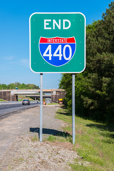
End I-440 sign at eastern terminus
I-440 sign gantry at exit 14; I-495 has since been changed to I-87
Former Signs along I-440 Showing the Inner and Outer Designations along the highway
Raleigh is the capital city of the U.S. state of North Carolina and the seat of Wake County. It is the second-most populous city in North Carolina, after Charlotte. Raleigh is the tenth-most populous city in the Southeast, the 41st-most populous city in the U.S., and the largest city of the Research Triangle metro area. Raleigh is known as the "City of Oaks" for its many oak trees, which line the streets in the heart of the city. The city covers a land area of 148.54 square miles (384.7 km2). The U.S. Census Bureau counted the city's population as 467,665 at the 2020 census. It is one of the fastest-growing cities in the United States. The city of Raleigh is named after Sir Walter Raleigh, who established the now-lost Roanoke Colony in present-day Dare County.
Image: Raleigh Skyline
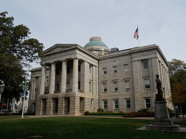
Image: 2015 North Carolina State Capitol
Image: NCSU Bell Tower
Image: PNC Arena Raleigh