Interstate 5 in California
Interstate 5 (I-5) is a major north–south route of the Interstate Highway System in the United States, stretching from the Mexican border at the San Ysidro crossing to the Canadian border near Blaine, Washington. The segment of I-5 in California runs 796.77 miles (1,282.28 km) across the length of the state from San Ysidro to the Oregon state line south of the Medford-Ashland metropolitan area. It is the longest interstate in California, and accounts for more than half of I-5's total length.
I-5 southbound in San Diego toward Mexico, September 2012
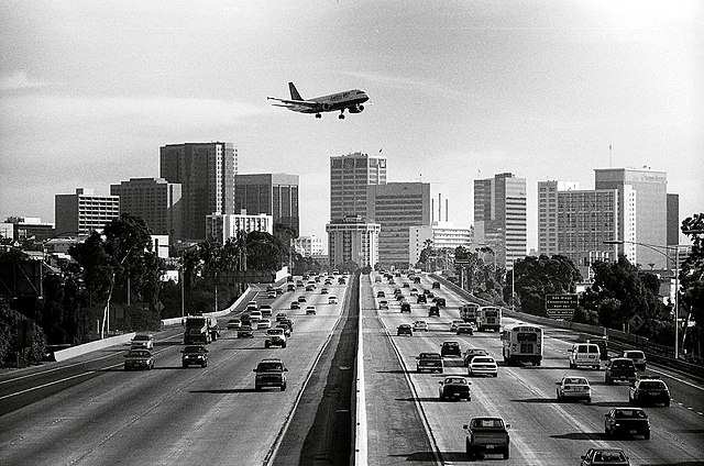
I-5 looking south toward Downtown San Diego, January 2002
I-5 crosses the Los Angeles River twice; the northern of these is on the border between Los Angeles and Glendale
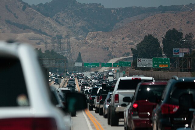
I-5 northbound prior to entering the Newhall Pass Interchange
Mexico–United States border
The Mexico–United States border is an international border separating Mexico and the United States, extending from the Pacific Ocean in the west to the Gulf of Mexico in the east. The border traverses a variety of terrains, ranging from urban areas to deserts. The Mexico–U.S. border is the most frequently crossed border in the world with approximately 350 million documented crossings annually. It is the tenth-longest border between two countries in the world.
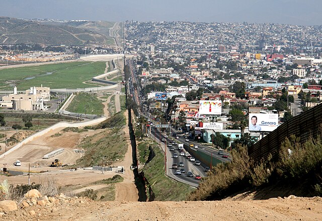
The vast majority of the current border was decided after the Mexican–American War (1846–1848). Most of the border is settled on the Rio Grande River on the border of Texas and northeastern Mexico. To the left lies San Diego, California and on the right is Tijuana, Baja California. The building in the foreground on the San Diego side is a sewage treatment plant built to clean the Tijuana River.
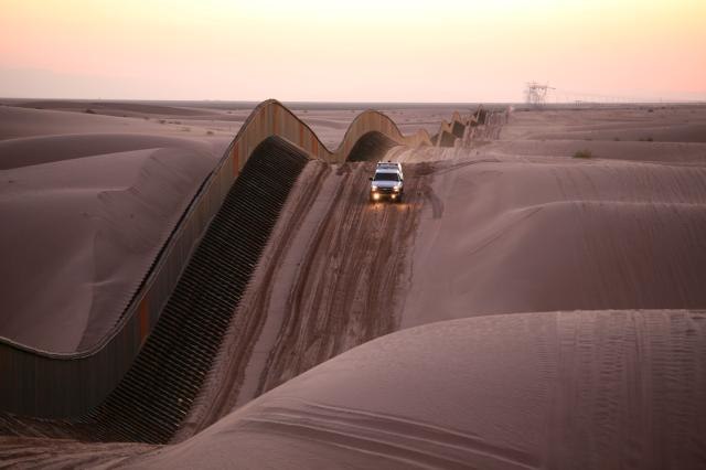
U.S. Border Patrol at Algodones Sand Dunes, California. The fence on the U.S.–Mexican border is a special construction of narrow, 4.6 m (15 ft) tall elements, that are movable vertically. This way, they can be lifted on top of the ever shifting sand dunes.
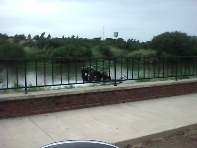
Border Patrol patrolling the Rio Grande in an airboat in Laredo, Texas
The start of the border fence in the state of New Mexico – just west of El Paso, Texas


