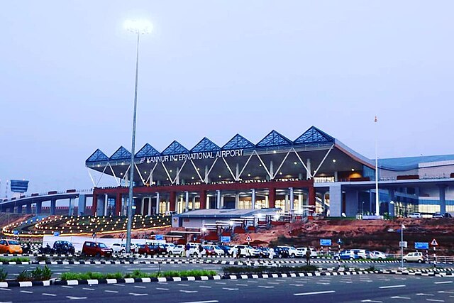
Iritty is a Municipality and a Taluk of Kannur district in Kerala State, India. The town is the main market place for the farmer communities in the surrounding regions. Iritty is known as The Coorg Valley in God's Own Country. Iritty is at a distance of 20 km (12 mi) from Kannur International Airport and one among five taluks in Kannur district. Iritty is one of the major towns lies between Coorg and Kannur international airport -Mattanur.
View of Iritty Bridge built in 1933
A heliCam view of Iritty
Iritty Bridge Built in 1933
Iritty Town
Kannur is one of the 14 districts along the west coast in the state of Kerala, India. The city of Kannur is the district headquarters and gives the district its name. The old name, Cannanore, is the anglicized form of the Malayalam name "Kannur". Kannur district is bounded by Kasaragod District to the north, Kozhikode district to the south, Mahé district to the southwest and Wayanad District to the southeast. To the east, the district is bounded by the Western Ghats, which forms the border with the state of Karnataka. The Arabian Sea lies to the west. Paithalmala is the highest point in Kannur District (1,372m). Enclosed within the southern part of the district is the Mahé district of the Union Territory of Puducherry. The district was established in 1957.
Image: Vpra floating park boat walking path
Image: Ptb kannur
Image: Chatti pathiri
Image: St. Angelo Fort, Kannur