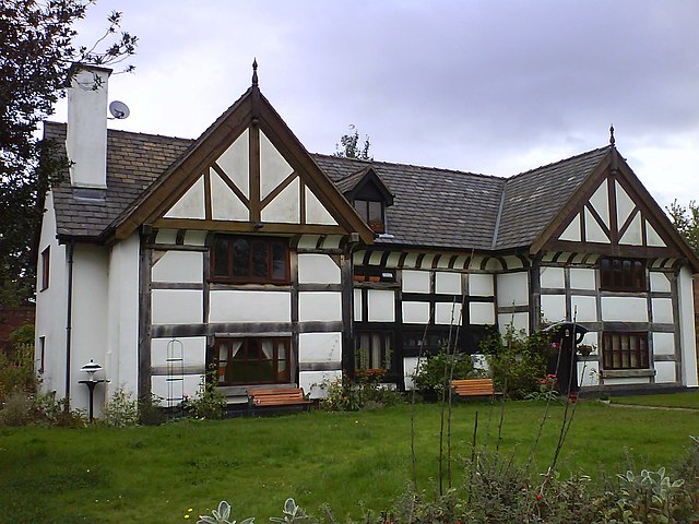
Irlam is a suburb in the City of Salford, Greater Manchester, England. In 2011, it had a population of 19,933. It lies on flat ground on the south side of the M62 motorway and the north bank of the Manchester Ship Canal, 6.7 miles (10.8 km) southwest of Salford, 7.6 miles (12.2 km) southwest of Manchester and 8.3 miles (13.4 km) northeast of Warrington. Irlam forms a continuous urban area with Cadishead to the southwest, and is divided from Flixton and the Metropolitan Borough of Trafford to the southeast by the Manchester Ship Canal. The main road through Irlam, linking it to Cadishead and Eccles, is the A57. Irlam railway station also serves the district.
St. John's Church
Salford, also known as the City of Salford, is a metropolitan borough with city status in Greater Manchester, England. The borough is named after its main settlement, Salford, but covers a larger area which includes the towns of Eccles, Swinton, Walkden and Pendlebury. The borough had a population of 278,064 in 2022, and is administered from the Salford Civic Centre in Swinton.
Salford Civic Centre, Swinton and the headquarters of Salford City Council
Kersal Cell, built in the 16th century, was a manor house built on the site of a Cluniac priory.
Former Salford Town Hall, Bexley Square
The Barton Swing Aqueduct in the closed position.


