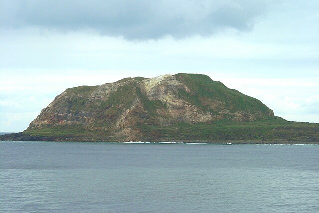
Iwo Jima, now officially romanized Iōtō, is one of the Japanese Volcano Islands, which lie south of the Bonin Islands and together with them make up the Ogasawara Archipelago. Together with the Izu Islands, they make up Japan's Nanpō Islands. Although 1,200 km (750 mi) south of Tokyo on Honshu, Iwo Jima is administered as part of the Ogasawara Subprefecture of the Tokyo Metropolitan Government.
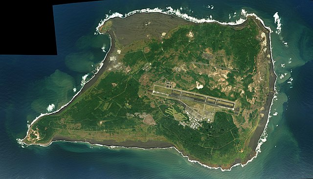
Photo of Iwo Jima (Iōtō), c. 2016, with Mount Suribachi in the lower left hand corner
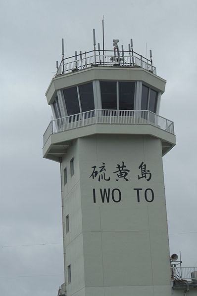
The island's SDF airport control tower (2010)
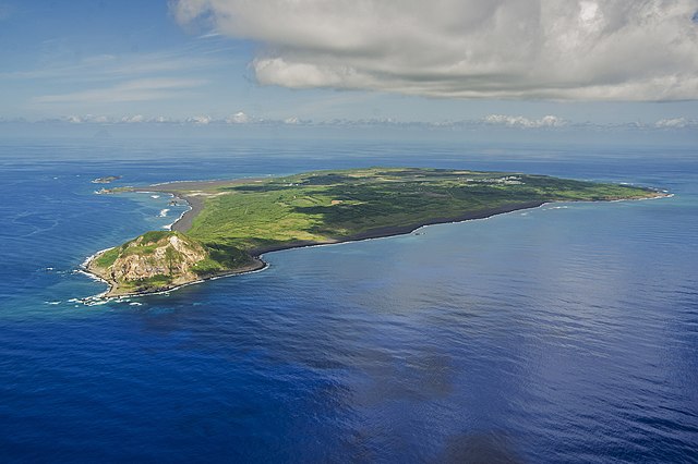
Aerial view of Iwo Jima in 2014
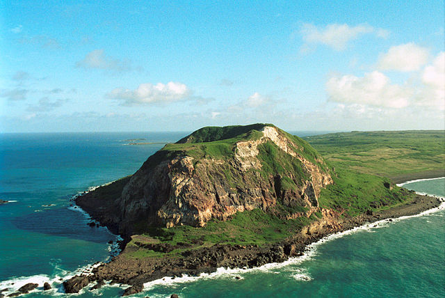
Mount Suribachi on Iwo Jima
The Volcano Islands or Iwo Islands are a group of three Japanese-governed islands in Micronesia. They lie south of the Ogasawara Islands and belong to the municipality of Ogasawara, Tokyo, Tokyo Metropolis, Japan. The islands are all active volcanoes lying atop the Izu–Bonin–Mariana Arc that stretches south to the Marianas. They have an area of 32.55 square kilometres (12.57 sq mi), and a population of 380. The island of Iwo Jima in the Volcano Islands lies about 1,240 kilometres southeast of Miyazaki.
Satellite photo of the Volcano Islands (2004)
Image: Kita ioto
Image: Mount Suribachi, Iwo Jima
Image: Minami ioto

