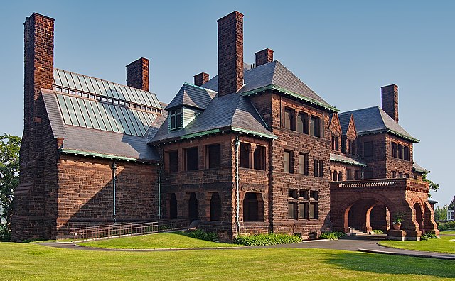
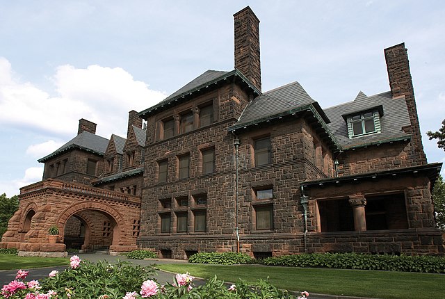
The James J. Hill House in Saint Paul, Minnesota, United States, was built by railroad magnate James J. Hill. The house, completed in 1891, is near the eastern end of Summit Avenue near the Cathedral of Saint Paul. The house, for its time, was very large and was the "showcase of St. Paul" until James J. Hill's death in 1916. It is listed as a U.S. National Historic Landmark, operated by the Minnesota Historical Society. It is also a contributing property to the Historic Hill District.
The James J. Hill House from the north
Pipe organ in the art gallery
The grand staircase
Main fireplace
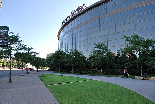
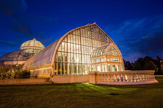
Saint Paul is the capital of the U.S. state of Minnesota and the county seat of Ramsey County. Situated on high bluffs overlooking a bend in the Mississippi River, Saint Paul is a regional business hub and the center of Minnesota's government. The Minnesota State Capitol and the state government offices all sit on a hill close to the city's downtown district. One of the oldest cities in Minnesota, Saint Paul has several historic neighborhoods and landmarks, such as the Summit Avenue Neighborhood, the James J. Hill House, and the Cathedral of Saint Paul. Like the adjacent city of Minneapolis, Saint Paul is known for its cold, snowy winters and humid summers.
Image: Saint Paul skyline, West Side (cropped)
Image: James J. Hill House (cropped)
Image: Xcel Energy Center (5866897189)
Image: Marjorie Mc Neely Conservatory at Como Park 01