Japan National Route 58
Videos
Page
National Route 58 is a Japanese national highway connecting the capital cities Kagoshima and Naha of Kagoshima Prefecture and Okinawa Prefecture, respectively. With a total length of 884.4 kilometers (549.5 mi), it is the longest national highway in Japan, though it measures only 245.2 kilometers (152.4 mi) on land. The highway begins at an intersection with National Routes 3 and 10 in Kagoshima. From Kagoshima, it travels southwest along the first island chain that divides the Pacific Ocean from the East China Sea. From the north to the south, it has sections on the islands of Tanegashima, Amami Ōshima, and finally, Okinawa. On Okinawa it ends at an intersection with National Routes 330, 331, and 390 in Naha.
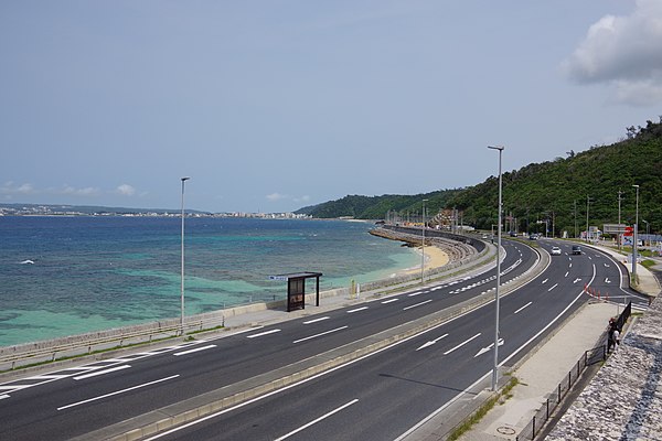
National Route 58 as seen from Michinoeki Kyoda in Nago
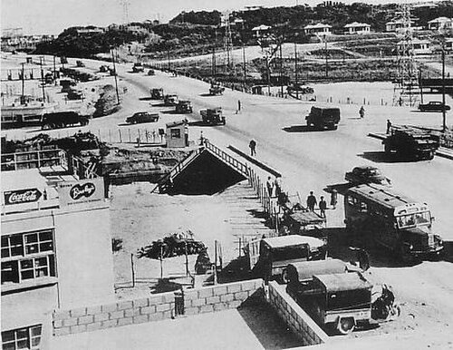
Government Highway 1 in 1954
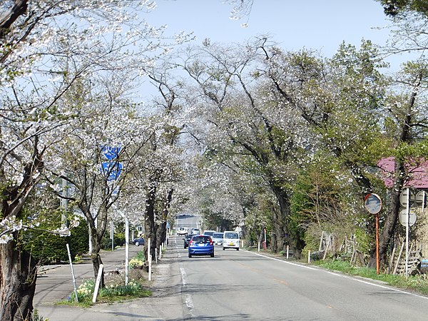
National highways of Japan
Videos
Page
Japan has a nationwide system of national highways distinct from the expressways. The Ministry of Land, Infrastructure, Transport and Tourism and other government agencies administer the national highways. Beginning in 1952, Japan classified these as Class 1 or Class 2. Class 1 highways had one- or two-digit numbers, while Class 2 highways had three-digit numbers. For example, routes 1 and 57 were Class 1 highways while 507 was a Class 2 highway.
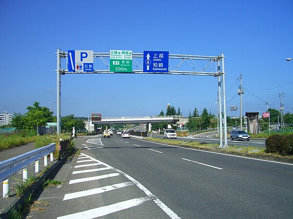
National Route 8 and Kan-etsu Expressway Nagaoka Interchange in Niigata Prefecture
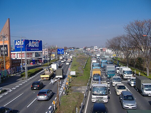
National Route 17 Shin-Omiya Bypass in Saitama Prefecture
Cherry blossom trees along the National Route 105 in Akita Prefecture