National Route 7 is a major north-south national highway on the Sea of Japan side of the island of Honshū, Japan. It traverses four prefectures, with Niigata at its southern end, then Yamagata, Akita, and finally, Aomori at its northern end. The 471.8-kilometer (293.2 mi) long highway begins at an intersection with national routes 8, 17, 113, 116, 289, 350, and 402 in the capital of Niigata, Niigata. Travelling north, the highway links the prefectural capitals Akita and Aomori. In central Aomori the highway ends at the northern terminus of National Route 4 and National Route 45.
Japan National Route 7 in Noshiro, Akita Prefecture
Masaya-koji Street, near the terminus of Route 7 in Niigata City
Shin-shin Bypass (limited-access highway) Seiro Interchange in Seirō, Niigata Prefectire
Fukura Bypass in Yuza, Yamagata Prefecture
National highways of Japan
Japan has a nationwide system of national highways distinct from the expressways. The Ministry of Land, Infrastructure, Transport and Tourism and other government agencies administer the national highways. Beginning in 1952, Japan classified these as Class 1 or Class 2. Class 1 highways had one- or two-digit numbers, while Class 2 highways had three-digit numbers. For example, routes 1 and 57 were Class 1 highways while 507 was a Class 2 highway.
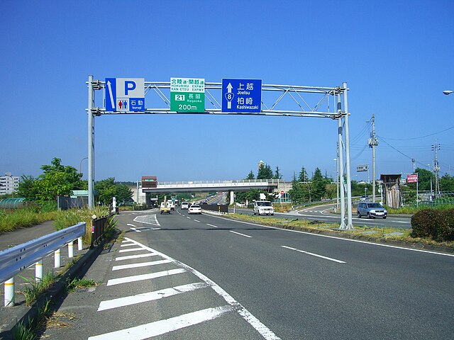
National Route 8 and Kan-etsu Expressway Nagaoka Interchange in Niigata Prefecture
National Route 17 Shin-Omiya Bypass in Saitama Prefecture
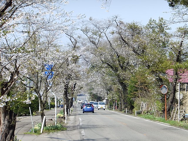
Cherry blossom trees along the National Route 105 in Akita Prefecture