Japanese addressing system
Videos
The Japanese addressing system is used to identify a specific location in Japan. When written in Japanese characters, addresses start with the largest geographical entity and proceed to the most specific one. The Japanese system is complex and idiosyncratic, the product of the natural growth of urban areas, as opposed to the systems used in cities that are laid out as grids and divided into quadrants or districts.


A sign displaying the town address Kamimeguro 2 chōme; block (gaiku) 21, building (bangō) 9 identifies the residential address. The upper plaque is the district name plate (町名板, chōmei ban) and the lower, the residential number plate (住居番号板, jūkyo bangō ban).
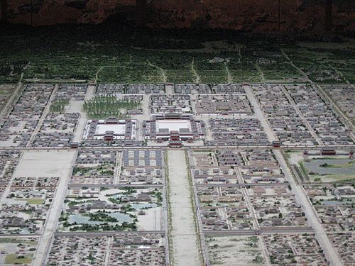
Kyoto was laid out on a grid in AD 794 (Heian-kyō), and grid-based addresses are used.

In the residential area, this type of green street address or chōmei name plates are applied. Pictured is an old type without roman scripts or city name, at Kuwabara in Matsuyama, Ehime. The address of the city block in Japanese means block 3, 4-chōme, Kuwabara town (桑原四丁目3, Kuwabara yon-chōme san).
Marunouchi
Videos
Marunouchi (丸の内) is a commercial district located in Chiyoda, Tokyo, Japan. Situated between Tokyo Station and the Imperial Palace, the name, meaning "inside the circle", derives from its location within the palace's outer moat. It is also Tokyo's financial district and the country's three largest banks are headquartered there.

Buildings surrounding the moat (2022)
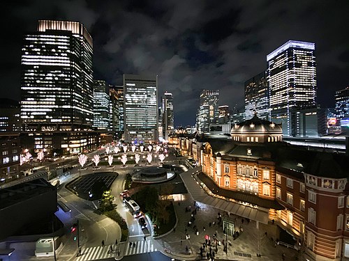
Marunouchi at night (2019)

Marunouchi in flames following the 1923 Great Kantō earthquake

The Marunouchi north exit of Tokyo Station