Jumla District, is one of the ten districts of the Karnali province of Nepal. This district has Jumla as its headquarters, an area of 2,531 square kilometres (977 sq mi); it had populations of 89,427 and 108,921, respectively, in the national censuses of 2001 and 2011. Its territory lies between longitudes 81⁰ 28' and 82⁰ 18' East, and between latitudes 28⁰ 58' and 29⁰ 30' North.
Aerial view of Sinja Valley
Jumla Bazaar from Twin Otter Aeroplane
Crowd on last day of Jatra, Krishna Janmashtami in Jumla Bazaar
Narakot Sinja Valley
Karnali Province is one of the seven federal provinces of Nepal formed by the new constitution, which was adopted on 20 September 2015. The total area of the province is 27,984 square kilometres (10,805 sq mi), making it the largest province in Nepal with 18.97% of the country's area. According to the 2011 Nepal census, the population of the province was 1,570,418, making it the least populous province in Nepal. The province borders the Tibet Autonomous Region of China to the north, Gandaki Province to the east, Sudurpashchim Province to the west, and Lumbini Province to the south. Birendranagar with a population of 154,886 is both the province's capital and largest city.
Image: Pukson
Image: Mount Kanjiroba
Image: Sinja Valley
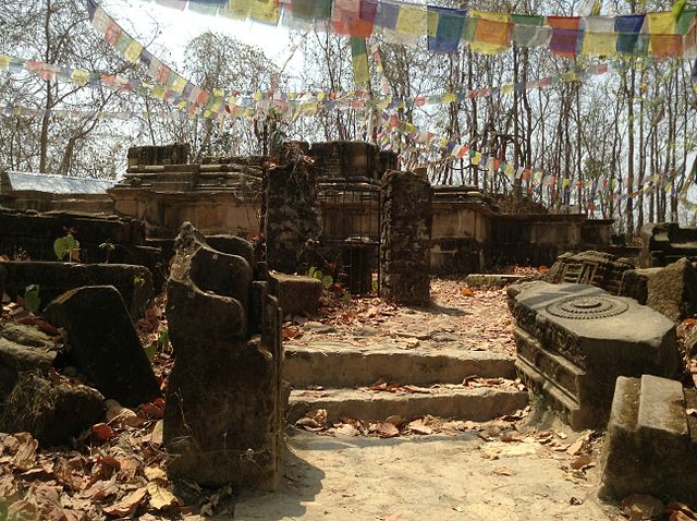
Image: Kakre Bihar


