Ka Lae, also known as South Point, is the southernmost point of the Big Island of Hawaii and of the 50 United States. The Ka Lae area is registered as a National Historic Landmark District under the name South Point Complex. The area is also known for its strong ocean currents and winds and is the home of a wind farm.
Rocky cliffs of Ka Lae
Ka Lae Point, with people getting ready to jump the cliff
Wind-blown tree
Old Kamaoa wind farm at South Point
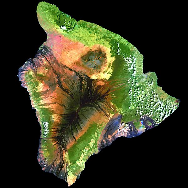
Hawaii is the largest island in the United States, located in the eponymous state of Hawaii. It is the southeasternmost of the Hawaiian Islands, a chain of volcanic islands in the North Pacific Ocean. With an area of 4,028 square miles (10,430 km2), it has 63% of the Hawaiian archipelago's combined landmass. However, it has only 13% of the archipelago's population. The island of Hawaiʻi is the third largest island in Polynesia, behind the north and south islands of New Zealand.
Landsat mosaic, 1999–2001
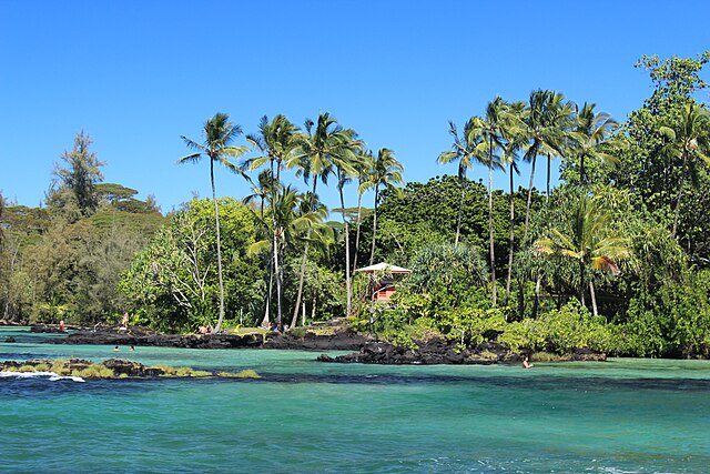
James Kealoha Beach, "Carlsmith Beach Park", in Hilo
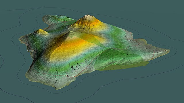
Aerial view, 3D computer-generated image
A view of the Kohala Coast and adjacent volcanoes, taken from the slopes of Kohala Mountains about 6 miles (10 km) northwest of Kawaihae. From left to right: Mauna Kea, Mauna Loa, and Hualalai.


