Kaaterskill High Peak
Videos
Kaaterskill High Peak is one of the Catskill Mountains, located in the Town of Hunter in Greene County, New York, United States. It was once believed to be the highest peak in the entire range, but its summit, at 3,655 feet (1,114 m) in elevation, places it only 23rd among the Catskill High Peaks. It is, however, the fourth most prominent peak in the range. Due to its situation as the easternmost High Peak, its summit is just outside the watersheds of New York City's reservoirs in the region.

Kaaterskill High Peak from southwest

View of Catskill Escarpment from across Hudson, with High Peak predominant.

View Near the Village of Catskill, by Thomas Cole, 1827. One of his many paintings to feature High Peak and Round Top.
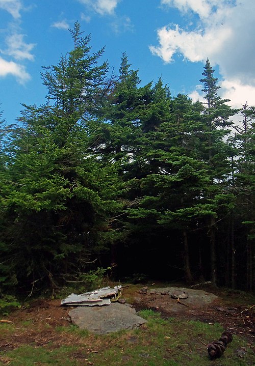
Summit, with debris from nearby plane wreck.
Catskill Mountain House
Videos
The Catskill Mountain House, which opened in 1824, was a famous hotel near Palenville, New York, and in the Catskill Mountains overlooking the Hudson River Valley. In its prime, from the 1850s to the turn of the century, it was visited by three U.S. presidents and the power elite of the day.

View from The Mountain House (1836), by William Henry Bartlett

The Mountain House (1856), by Jasper Francis Cropsey

Thomas Cole - A View of the Two Lakes and Mountain House, Catskill Mountains, Morning - Brooklyn Museum

Postcard view of the hotel, undated