Kadapa district is one of the twenty six districts in the Indian state of Andhra Pradesh. In 2022 reorganisation of Andhra Pradesh districts, the district boundary is largely restricted to Kadapa parliamentary constituency area. It is also one of the eight districts in the Rayalaseema region. Kadapa is the administrative headquarters for this district.
Image: 16th century Kodandarama temple, Vontimitta, Andhra Pradesh India 25
Image: 10th to 15th century Chennakesava temples group, Pushpagiri, Andhra Pradesh India 02
Image: Sri Soumyanathaswamy Temple, Nandalur
Image: Dry deciduous forest in Sri Lankamalleswara Wildlife Sanctuary JEG8320
Andhra Pradesh is a state in the southern coastal region of India. It is the seventh-largest state with an area of 162,970 km2 (62,920 sq mi) and the tenth-most populous state with 49,577,103 inhabitants. It shares borders with Chhattisgarh, Odisha, Karnataka, Tamil Nadu, Telangana and the Bay of Bengal. It has the second-longest coastline in India at about 974 km (605 mi). After existence as Andhra State and unified Andhra Pradesh, the state took its present form on 2 June 2014, when the new state of Telangana was formed through bifurcation. Amaravati is the capital of the state, with the largest city being Visakhapatnam. Water sharing disputes and asset division with Telangana are not yet resolved. Telugu, one of the classical languages of India used by the majority of people, is the first official language.
Image: Tirumala 090615
Image: Rock cut cave
Image: Vizag seaport
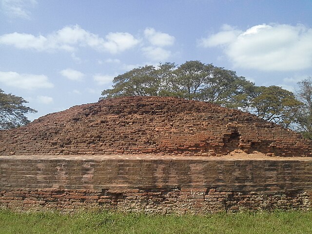
Ruins of the Buddhist Maha Stupa at Bhattiprolu, built during the 3rd century BCE–2nd century BCE