Kafue Flats
Videos
Page
The Kafue Flats are a vast area of swamp, open lagoon and seasonally inundated flood-plain on the Kafue River in the Southern, Central and Lusaka provinces of Zambia. They are a shallow flood plain 240 km (150 mi) long and about 50 km (31 mi) wide, flooded to a depth of less than a meter in the rainy season, and drying out to a clayey black soil in the dry season.

False colour NASA MODIS image of the Kafue Flats in flood and the Itezhi-Tezhi dam - 14 February 2008.

The Kafue Flats, Blue Lagoon National Park, Lochinvar National Park and Kafue Flats Game Management Area (GMA).
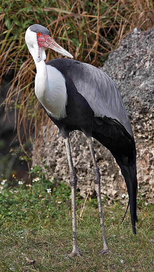
Wattled crane.
Kafue River
Videos
Page
The Kafue River is the longest river lying wholly within Zambia at about 1,576 kilometres (979 mi) long. Its water is used for irrigation and for hydroelectric power. It is the largest tributary of the Zambezi, and of Zambia's principal rivers, it is the most central and the most urban. More than 50% of Zambia's population live in the Kafue River Basin and of these around 65% are urban.

Kafue River, Chamufumbu, near Lubungu Pontoon, Zambia

Kafue river from the Kafue bridge

Victoria Falls National Park marker