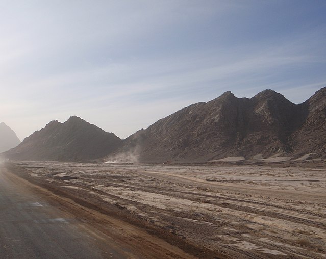
Kandahār is one of the thirty-four provinces of Afghanistan, located in the southern part of the country, sharing a border with Pakistan, to the south. It is surrounded by Helmand in the west, Uruzgan in the north and Zabul Province in the east. Its capital is the city of Kandahar, Afghanistan's second largest city, which is located on the Arghandab River. The greater region surrounding the province is called Loy Kandahar. The Emir of Afghanistan sends orders to Kabul from Kandahar making it the de facto capital of Afghanistan, although the main government body operates in Kabul. All meetings with the Emir take place in Kandahar, meetings excluding the Emir are in Kabul.
Image: Mountain Range panoramio (1)
Image: Kandahar University Mosque 2005
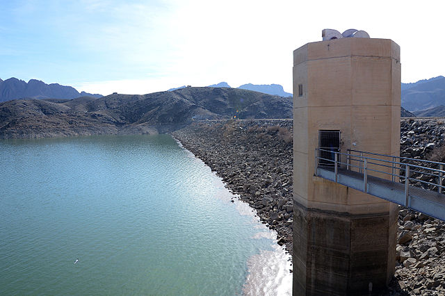
Image: Corps of Engineers to raise Dahla Dam, provide water essential to southern Afghanistan 140118 A DT641 204
A miniature from Padshahnama depicting the surrender of the Shia Safavid at what is now Old Kandahar in 1638 to the Mughal army of Shah Jahan commanded by Kilij Khan
Helmand, also known as Hillmand, in ancient times, as Hermand and Hethumand, is one of the 34 provinces of Afghanistan, in the south of the country. It is the largest province by area, covering 58,584 square kilometres (20,000 sq mi) area. The province contains 18 districts, encompassing over 1,000 villages, and roughly 1,446,230 settled people. Lashkargah serves as the provincial capital. Helmand was part of the Greater Kandahar region until made into a separate province by the Afghan government in the 20th century.
Image: Chaos Company strikes back with Operation Viper Strike 130410 A PV892 016
Image: Kajaki Dam Area MOD 45149824
Image: Mosque in Lashkar Gah
Grishk Dam, built by the United States around the 1960s.


