Karbi Anglong district is an administrative unit in the Indian state of Assam. It is an autonomous district administered by the Karbi Anglong Autonomous Council (KAAC) according to the provisions of the Sixth Schedule of the constitution of India. The district headquarters is in Diphu.
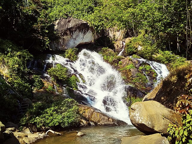
Langkvoku waterfall near Manja
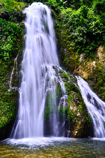
The Kangthi Langso waterfall, situated in Kangthi Village, approximate 12 kilometers away from Dengaon in Karbi Anglong district of Assam in India.
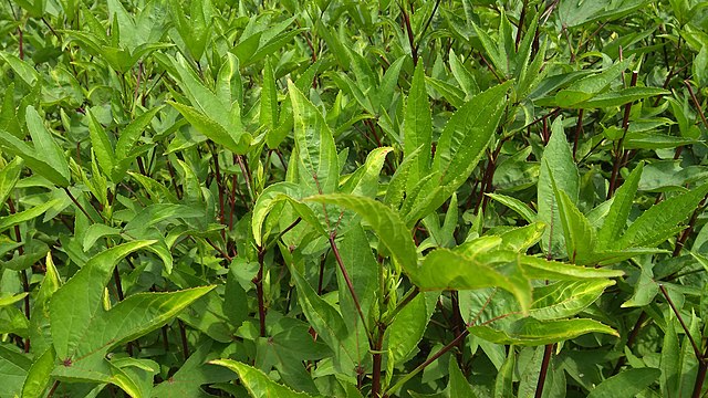
Roselle (plant) (English)/Hanserong (local) is a common plant grown in almost every tribal household. Both its leaf & seed bud are consumed.
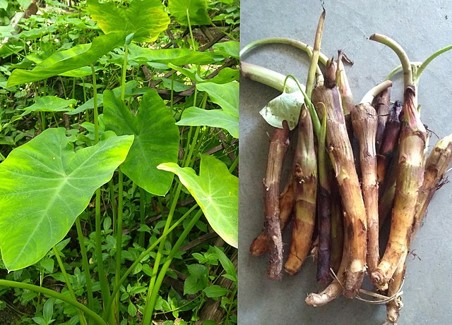
Colocasia or Henru (left) and its root or Dongdar (right) are consumed entirely.
Assam is a state in northeastern India, south of the eastern Himalayas along the Brahmaputra and Barak River valleys. Assam covers an area of 78,438 km2 (30,285 sq mi). It is the second largest state in northeastern India by area and the largest in terms of population. The state is bordered by Bhutan and Arunachal Pradesh to the north; Nagaland and Manipur to the east; Meghalaya, Tripura, Mizoram and Bangladesh to the south; and West Bengal to the west via the Siliguri Corridor, a 22-kilometre-wide (14 mi) strip of land that connects the state to the rest of India. Assamese and Boro are the official languages of Assam. Meitei (Manipuri) is the official language of Hojai district and the entirety of the Barak Valley districts, while Bengali is an official language in the three districts of Barak Valley.
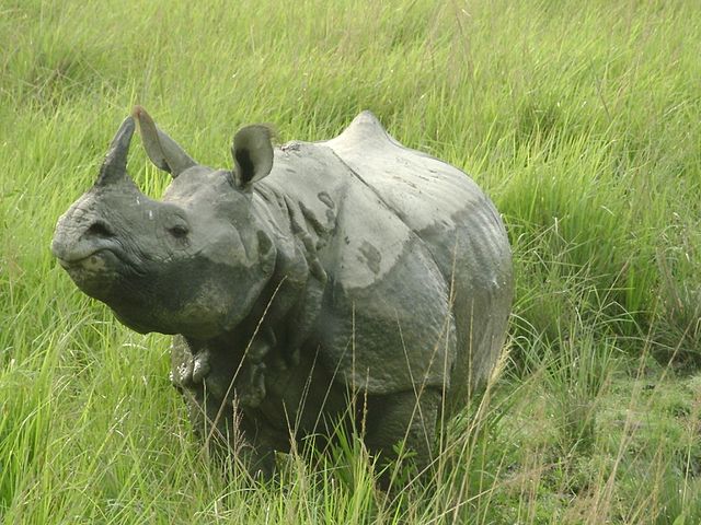
Image: Extra Zoomed Snap of Indian Rhino from Assam's Kaziranga National Park
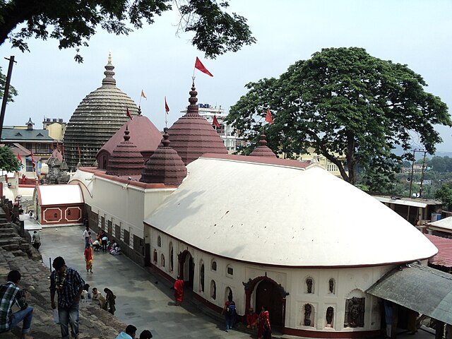
Image: Kamakhya Temple, Guwahati
Image: Academic complex iitg
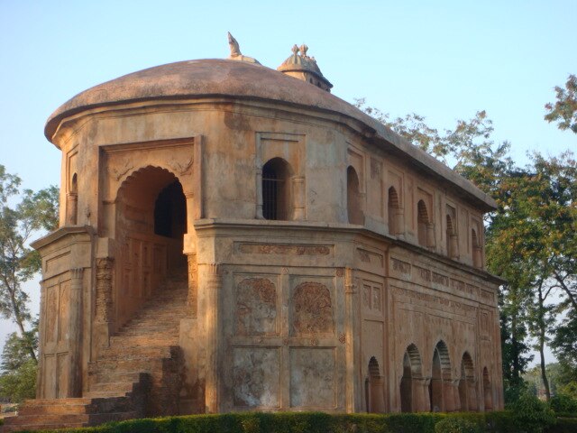
Image: Rangghar Assam