Kawhia Harbour is one of three large natural inlets in the Tasman Sea coast of the Waikato region of New Zealand's North Island. It is located to the south of Raglan Harbour, Ruapuke and Aotea Harbour, 40 kilometres southwest of Hamilton. Kawhia is part of the Ōtorohanga District and is in the King Country. It has a high-tide area of 68 km2 (26 sq mi) and a low-tide area of 18 km2 (6.9 sq mi). Te Motu Island is located in the harbour.
The harbour with Tiritirimatangi Peninsula at centre
Waterfront at Kawhia pictured between 1908 and 1915. St Elmo boarding house in the foreground.
"Welcome to Kawhia" sign
265 ft (81 m) long Waiharakeke bridge, where Harbour Rd crosses an arm of the harbour, opened in 1909
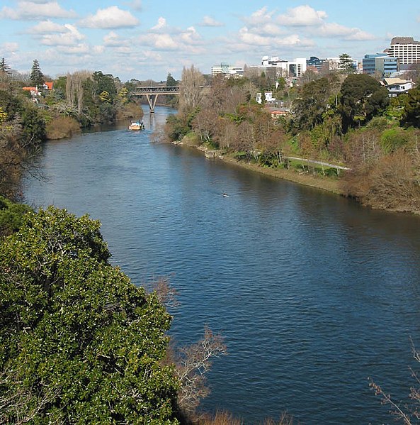
Waikato is a region of the upper North Island of New Zealand. It covers the Waikato District, Waipa District, Matamata-Piako District, South Waikato District and Hamilton City, as well as Hauraki, Coromandel Peninsula, the northern King Country, much of the Taupō District, and parts of the Rotorua Lakes District. It is governed by the Waikato Regional Council.
Waikato River passing through Hamilton
Māori woman with a representation of the Waikato Ancestress "Te Iringa"