The Kerguelen Islands, also known as the Desolation Islands, are a group of islands in the sub-Antarctic constituting one of the two exposed parts of the Kerguelen Plateau, a large igneous province mostly submerged in the southern Indian Ocean. They are among the most isolated places on Earth, located more than 3,300 kilometres from Madagascar. The islands, along with Adélie Land, the Crozet Islands, Amsterdam and Saint Paul islands, and France's Scattered Islands in the Indian Ocean, are part of the French Southern and Antarctic Lands and are administered as a separate district.
The islands are named after French explorer Yves-Joseph de Kerguelen-Trémarec.
Illustration from John Nunn's book about the three years he and his shipwrecked crew survived on the island in the 1820s.
French sailors officially reasserting possession of the Islands on 8 January 1893
Péninsule Rallier du Baty
The subantarctic zone is a region in the Southern Hemisphere, located immediately north of the Antarctic region. This translates roughly to a latitude of between 46° and 60° south of the Equator. The subantarctic region includes many islands in the southern parts of the Atlantic, Indian, and Pacific oceans, especially those situated north of the Antarctic Convergence. Subantarctic glaciers are, by definition, located on islands within the subantarctic region. All glaciers located on the continent of Antarctica are by definition considered to be Antarctic glaciers.
Trees growing along the north shore of the Beagle Channel, 55°S.
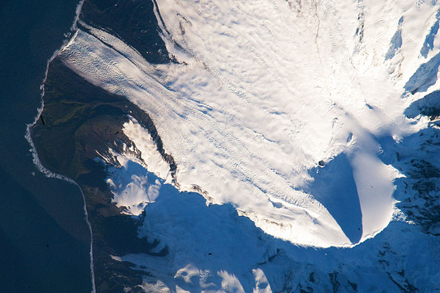
Satellite image of the southern tip of Heard Island. Cape Arkona is seen on the left side of the image, with Lied Glacier just above and Gotley Glacier just below. Big Ben Volcano and Mawson Peak are seen at the lower right side of the image.
Satellite image of central South Georgia: Harker Glacier, Cumberland Bay, Thatcher Peninsula, Allardyce Range, Mount Paget.
Neumayer Glacier, Cumberland West Bay, South Georgia, circa 1882–1883.


